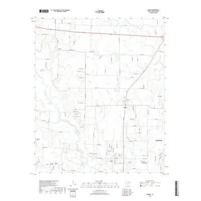
2019 Map of Ponder
USGS Topo · Published 2019About this map
Ponder and Stony anchor this section of Denton County, where the transition from rural agricultural land to burgeoning residential development is clearly visible. The landscape is defined by the winding course of Denton Creek and its many tributaries, including Wolf Br, Hog Br, and Morris Br. These waterways have historically shaped the settlement patterns and road networks that crisscross the prairie, such as the prominent Old Stoney Rd and FM 156.
Find a feature on this map
103 named features on this map. Tap any name to fly to it.
Don’t see what you’re looking for? This feature index may not catch every label — zoom into the map to look around manually.
Map Details
Editions of this 2019 Ponder Map
This is the sole edition of this map. No revisions or reprints were ever made.
Other maps of this area

1954 · Sherman
USGS Topo · 1:250,000

1958 · Sherman
USGS Topo · 1:250,000

1959 · Ponder
USGS Topo · 1:24,000
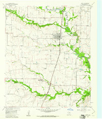
1960 · Justin
USGS Topo · 1:24,000

1960 · Sanger
USGS Topo · 1:24,000

1960 · Bluett
USGS Topo · 1:24,000
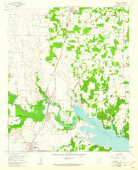
1960 · Argyle
USGS Topo · 1:24,000

1960 · Rhome
USGS Topo · 1:24,000
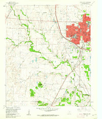
1960 · Denton West
USGS Topo · 1:24,000

1961 · Slidell
USGS Topo · 1:24,000