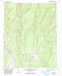
1970 Map of Ponderosa
USGS Topo · Published 1993About this map
The Jemez River and Rio Guadalupe carve deep through the mesas of Sandoval County, defining a landscape of high plateaus and historic land grants. This 1970 survey, revised in the early 1990s, documents the complex boundary intersections between the Santa Fe National Forest, the Jemez Pueblo Grant, and the San Diego Grant. Settlement patterns follow the water, with Jemez Springs and Ponderosa anchored by local institutions like Santo Toribio Ch and Nuestra Senora de Guadalupe Ch.
Find a feature on this map
48 named features on this map. Tap any name to fly to it.
Don’t see what you’re looking for? This feature index may not catch every label — zoom into the map to look around manually.
Map Details
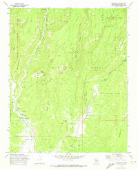
Editions of this 1970 Ponderosa Map
2 editions found
Other maps of this area

1890 · Jemes
USGS Topo · 1:125,000

1892 · Jemes
USGS Topo · 1:125,000

1937 · Jemez Springs
USGS Topo · 1:48,000

1939 · La Ventana
USGS Topo · 1:62,500

1939 · San Ysidro
USGS Topo · 1:62,500

1943 · San Ysidro
USGS Topo · 1:62,500

1943 · Jemez
USGS Topo · 1:62,500

1943 · La Ventana
USGS Topo · 1:62,500

1944 · Jemez Springs
USGS Topo · 1:62,500

1952 · Jemez Springs
USGS Topo · 1:62,500