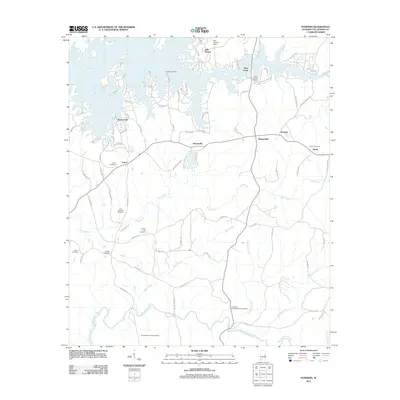
2011 Map of Ponders
USGS Topo · Published 2011About this map
Lake Martin defines the northern reaches of this landscape, its winding shoreline sheltering Still Waters Marina and Blue Creek Marina amidst a network of residential developments like Bama Park. To the south, the terrain transitions into a series of smaller creek valleys including Wind Creek, Buck Creek, and Sougahatchee Creek. This southern section retains a more traditional rural character, anchored by historic community markers such as the Old Sharon Primitive Baptist Cemetery and the Sougahatchee Lookout Tower. The mapping records a high density of local burying grounds including the John Johnston Cemetery, Harper Hill Cemetery, and Guthrie Cemetery, which serve as vital touchstones for family historians. Small crossroads settlements like Barnesville, Walnut Hill, and Ponders are linked by a web of local routes that traverse the ridges between the numerous waterway drainages.
Find a feature on this map
90 named features on this map. Tap any name to fly to it.
Don’t see what you’re looking for? This feature index may not catch every label — zoom into the map to look around manually.
Map Details
Editions of this 2011 Ponders Map
This is the sole edition of this map. No revisions or reprints were ever made.
Other maps of this area

1906 · Dadeville
USGS Topo · 1:125,000

1955 · Phenix City
USGS Topo · 1:250,000

1957 · Phenix City
USGS Topo · 1:250,000

1958 · Phenix City
USGS Topo · 1:250,000
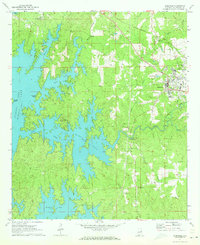
1971 · Dadeville
USGS Topo · 1:24,000

1971 · Ponders
USGS Topo · 1:24,000

1971 · Carrville
USGS Topo · 1:24,000
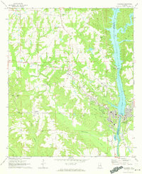
1971 · Tallassee
USGS Topo · 1:24,000
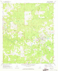
1971 · Camp Hill
USGS Topo · 1:24,000

1971 · Thornton
USGS Topo · 1:24,000