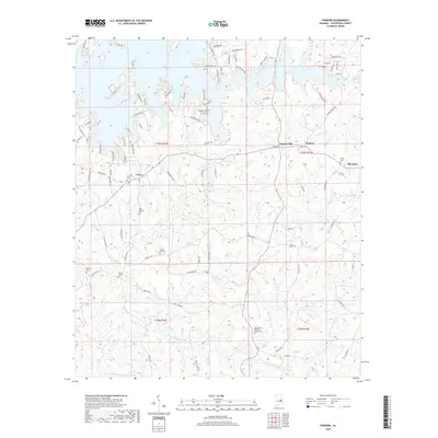
2018 Map of Ponders
USGS Topo · Published 2018About this map
Martin Lake dominates the northern reaches of this Tallapoosa County landscape, where deeply indented coves and numerous residential drives like N Westward Dr and Silver Hill Rd define the shoreline character. The topography transitions from these recreational waters into the more traditional rural layouts of Union, Walnut Hill, and Ponders. Genealogists will find a significant concentration of burial sites throughout the quadrangle, including the Old Sharon Primitive Baptist Cem near Sougahatchee Creek and several family-named locations such as the John Johnston Cem and Harper Hill Cem. The southern half of the map is defined by a dense network of streams, including Buck Cr and Ledbetter Cr, which carve through the land south of the Obed Loop.
Find a feature on this map
96 named features on this map. Tap any name to fly to it.
Don’t see what you’re looking for? This feature index may not catch every label — zoom into the map to look around manually.
Map Details
Editions of this 2018 Ponders Map
This is the sole edition of this map. No revisions or reprints were ever made.
Other maps of this area

1906 · Dadeville
USGS Topo · 1:125,000

1955 · Phenix City
USGS Topo · 1:250,000

1957 · Phenix City
USGS Topo · 1:250,000

1958 · Phenix City
USGS Topo · 1:250,000
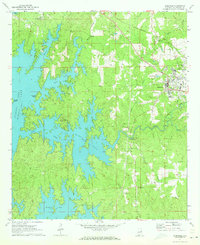
1971 · Dadeville
USGS Topo · 1:24,000

1971 · Ponders
USGS Topo · 1:24,000

1971 · Carrville
USGS Topo · 1:24,000
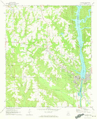
1971 · Tallassee
USGS Topo · 1:24,000
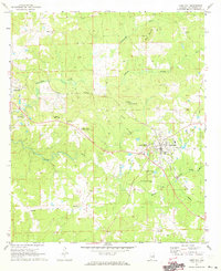
1971 · Camp Hill
USGS Topo · 1:24,000

1971 · Thornton
USGS Topo · 1:24,000