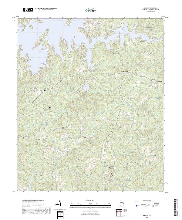
2024 Map of Ponders
USGS Topo · Published 2024About this map
Martin Lake defines the northern reaches of this Tallapoosa County landscape, where the shoreline meets a complex network of residential roads like Silver Hill Rd and Centerport Rd. The terrain transition south toward Walnut Hill and Ponders reveals a countryside deeply rooted in local family and church history. Genealogists will find a significant concentration of burial sites, including the Old Sharon Primitive Baptist Cem and the John Johnston Cem, alongside several others such as Sardis Cem and Beulah Cem. The southern half of the map is dominated by the winding paths of Sougahatchee Creek and its tributaries, Buck Creek and Leadbetter Creek, which snake through the timbered hills of eastern Alabama.
Find a feature on this map
101 named features on this map. Tap any name to fly to it.
Don’t see what you’re looking for? This feature index may not catch every label — zoom into the map to look around manually.
Map Details
Editions of this 2024 Ponders Map
This is the sole edition of this map. No revisions or reprints were ever made.
Historical Maps of Union Through Time
10 maps found
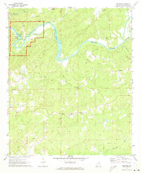
1971 Buttston
Tallapoosa County, AL
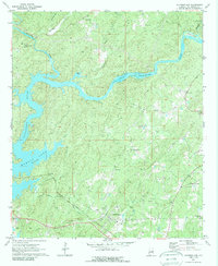
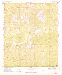
1971 Carrville
Tallapoosa County, AL
1971 Jacksons Gap
Tallapoosa County, AL
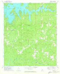
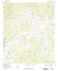
1971 Ponders
Tallapoosa County, AL
1971 Thornton
Tallapoosa County, AL
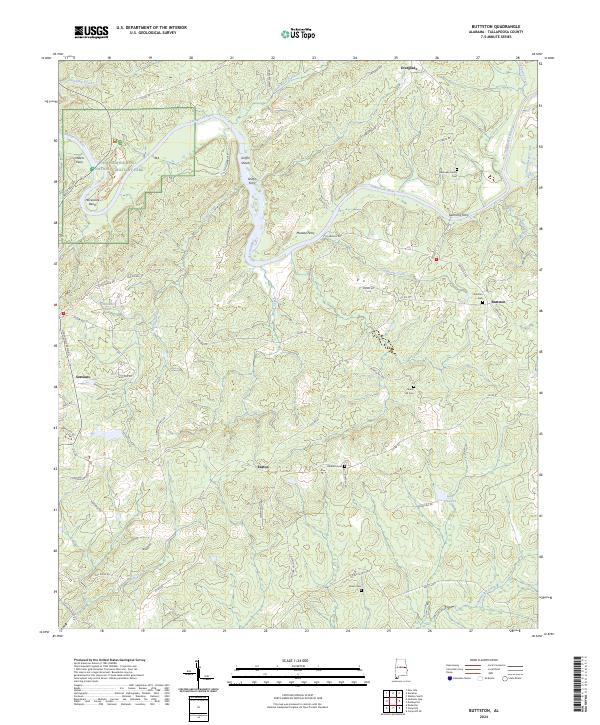
2024 Buttston
Tallapoosa County, AL
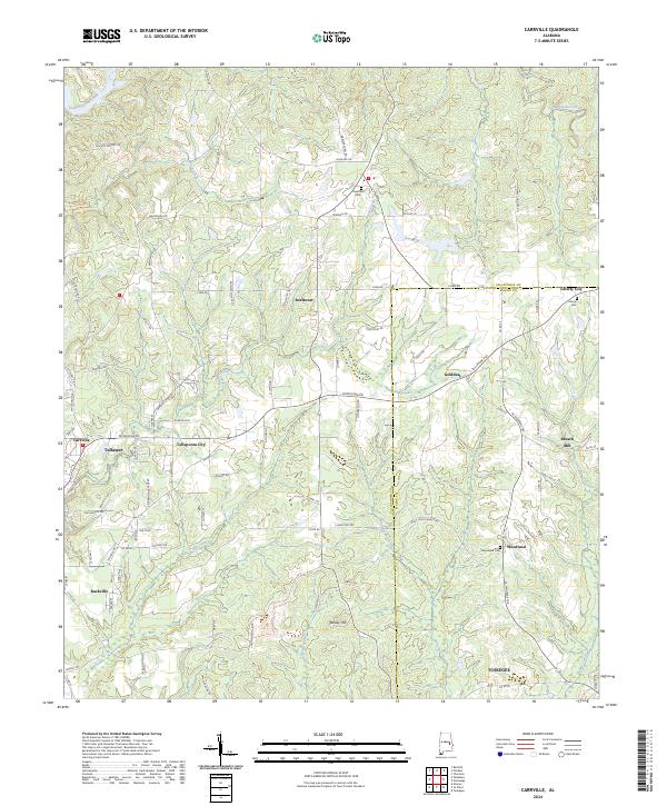
2024 Carrville
Tallapoosa County, AL
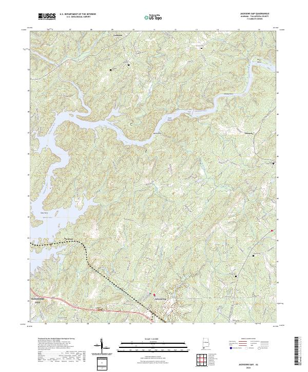
2024 Jacksons Gap
Tallapoosa County, AL
2024 Ponders
Tallapoosa County, AL
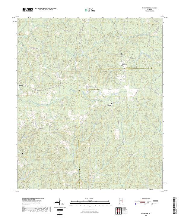
2024 Thornton
Tallapoosa County, AL