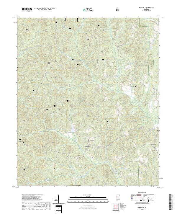
2024 Map of Pondville
USGS Topo · Published 2024About this map
Pondville stands as the central settlement in this portion of Bibb County, situated where Pondville Rd and State Rte 25 converge. This southern section of the Talladega National Forest is characterized by a high density of rural burial grounds, including Pondville Cem, Friendship Cem, and Mulberry Cem, which often mark the locations of former community centers or family homesteads. The landscape is defined by the winding paths of Blue Girth Creek and Yeager Branch, which cut through the timberland of the national forest. The road network, including the Pondville Cutoff and Elam School House Rd, suggests a legacy of local schoolhouses and small-scale agriculture that once thrived alongside these creek valleys before much of the area was incorporated into the protected forest boundaries.
Find a feature on this map
52 named features on this map. Tap any name to fly to it.
Don’t see what you’re looking for? This feature index may not catch every label — zoom into the map to look around manually.
Map Details
Editions of this 2024 Pondville Map
This is the sole edition of this map. No revisions or reprints were ever made.
Other maps of this area

1899 · Brookwood
USGS Topo · 1:125,000

1931 · Cottondale
USGS Topo · 1:48,000

1934 · Cottondale
USGS Topo · 1:62,500

1934 · Blocton
USGS Topo · 1:48,000

1940 · Blocton
USGS Topo · 1:62,500

1953 · Montgomery
USGS Topo · 1:250,000

1953 · Birmingham
USGS Topo · 1:250,000

1956 · Birmingham
USGS Topo · 1:250,000

1956 · Montgomery
USGS Topo · 1:250,000

1957 · Birmingham
USGS Topo · 1:250,000