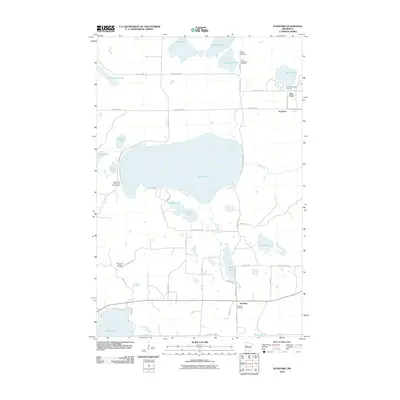
2010 Map of Ponsford
USGS Topo · Published 2010About this map
The community of Pine Point and the nearby village of Ponsford anchor this landscape in northwestern Becker County, defined by a dense network of glacial lakes and wetlands. The central expanse of Shell Lake dominates the quadrangle, with the Shell River winding eastward from its northern shores. Evidence of early settlement and regional history is preserved in a concentration of burial sites, including the Grand Medicine Cemetery, Saint Theodores Cemetery, and Breck Memorial Cemetery near the northern shore of Mission Lake. To the south, the settlement of Snellman sits near the namesake Snellman Cemetery, while leisure activity is noted at the Shell Lake Resort and Campground. The terrain is interconnected by a series of regional routes such as County Hwy-37 and County Hwy-26, providing access to numerous smaller water bodies like Dumbbell Lake and Toad Lake.
Find a feature on this map
54 named features on this map. Tap any name to fly to it.
Don’t see what you’re looking for? This feature index may not catch every label — zoom into the map to look around manually.
Map Details
Editions of this 2010 Ponsford Map
This is the sole edition of this map. No revisions or reprints were ever made.
Other maps of this area

1953 · Brainerd
USGS Topo · 1:250,000

1954 · Bemidji
USGS Topo · 1:250,000

1957 · Brainerd
USGS Topo · 1:250,000

1957 · Bemidji
USGS Topo · 1:250,000

1958 · Bemidji
USGS Topo · 1:250,000

1958 · Brainerd
USGS Topo · 1:250,000

1959 · Toad Mountain
USGS Topo · 1:24,000

1959 · Height Of Land Lake
USGS Topo · 1:24,000

1965 · Brainerd
USGS Topo · 1:250,000

1969 · Many Point Lake
USGS Topo · 1:24,000