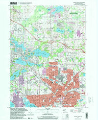
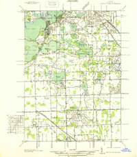
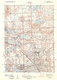
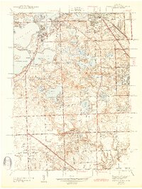
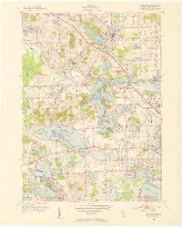
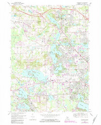
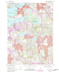
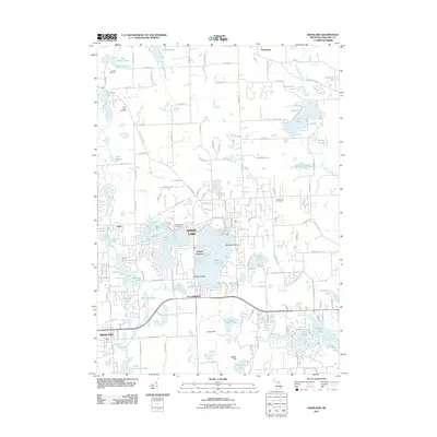
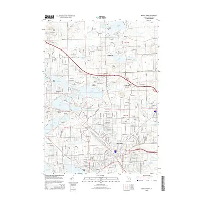
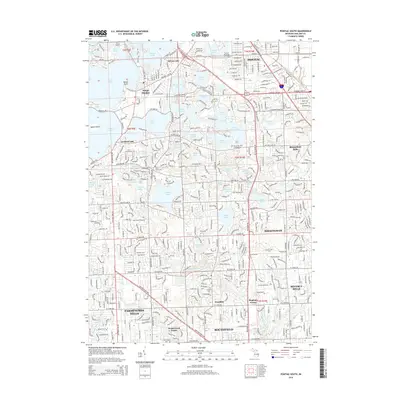
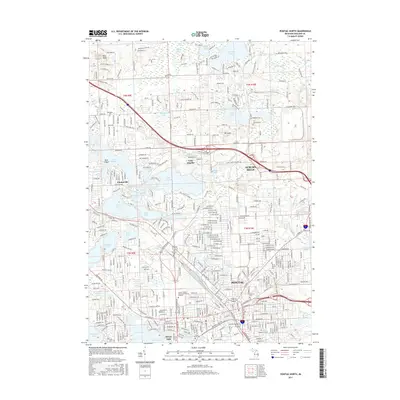
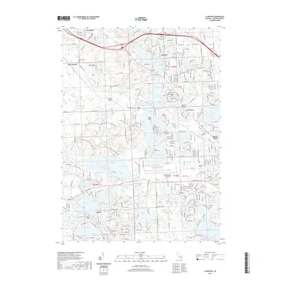
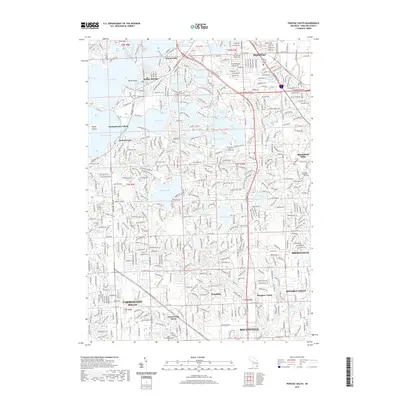
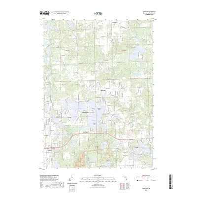
1997 Map of Pontiac North
USGS Topo · Published 2000About this map
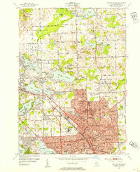
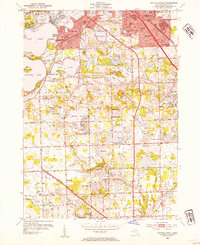
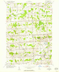
The industrial and residential expansion of Pontiac and Auburn Hills is captured in this late-1990s topographical survey, revealing a landscape defined by its glacial lakes and educational infrastructure. The city center is dense with historic institutions, including the Oak Hill Cemetery and Pontiac Central High Sch, while the Grand Trunk Western RR cuts through the urban grid. To the north, the transition from heavy industry and gravel extraction near Silver Bell Road to the scientific and natural preserves around McMath-Hulbert Observatory and Lake Angelus illustrates the varied land use of Oakland County.
Find a feature on this map
108 named features on this map. Tap any name to fly to it.
Don’t see what you’re looking for? This feature index may not catch every label — zoom into the map to look around manually.
Map Details
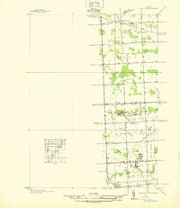
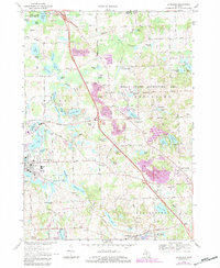
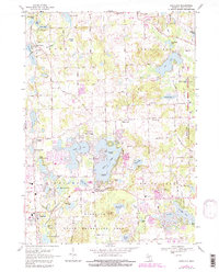
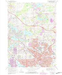
Editions of this 1997 Pontiac North Map
This is the sole edition of this map. No revisions or reprints were ever made.
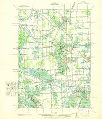
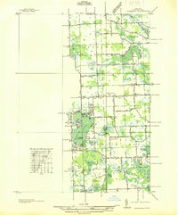
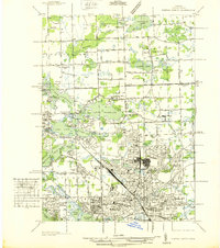
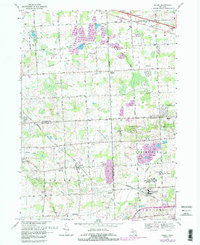
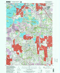
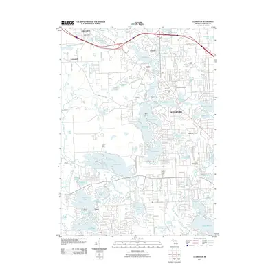
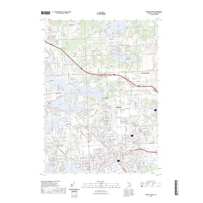
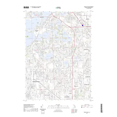
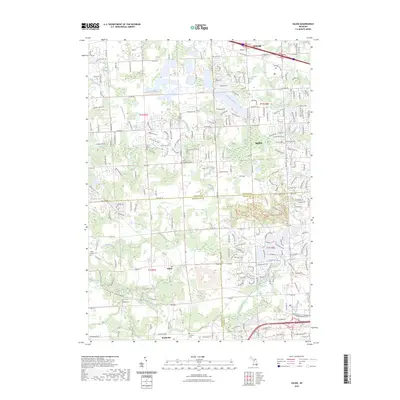
Historical Maps of Waterford Township Through Time
54 maps found
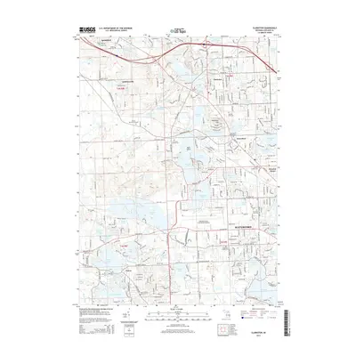
1936 Clarkston
Oakland County, MI
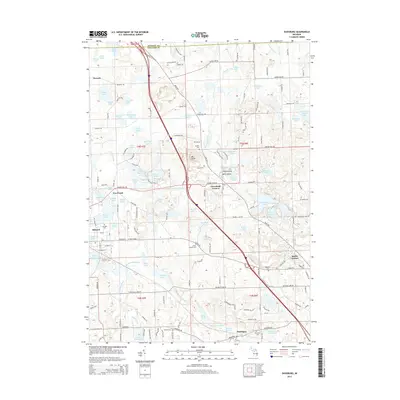
1936 Highland
Oakland County, MI
1936 Pontiac North
Oakland County, MI
1936 Pontiac South
Oakland County, MI
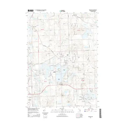
1936 Salem
Oakland County, MI
1942 Highland
Oakland County, MI
1943 Clarkston
Oakland County, MI
1943 Pontiac North
Oakland County, MI
1943 Pontiac South
Oakland County, MI
1945 Davisburg
Oakland County, MI
1945 Highland
Oakland County, MI

1945 Salem
Oakland County, MI
1952 Clarkston
Oakland County, MI
1952 Pontiac North
Oakland County, MI
1952 Pontiac South
Oakland County, MI
1953 Salem
Oakland County, MI
1968 Clarkston
Oakland County, MI
1968 Davisburg
Oakland County, MI
1968 Highland
Oakland County, MI
1968 Pontiac North
Oakland County, MI
1968 Pontiac South
Oakland County, MI
1969 Salem
Oakland County, MI
1997 Pontiac North
Oakland County, MI
1997 Pontiac South
Oakland County, MI
2011 Clarkston
Oakland County, MI

2011 Davisburg
Oakland County, MI
2011 Highland
Oakland County, MI
2011 Pontiac North
Oakland County, MI
2011 Pontiac South
Oakland County, MI
2011 Salem
Oakland County, MI
2014 Clarkston
Oakland County, MI
2014 Davisburg
Oakland County, MI
2014 Highland
Oakland County, MI
2014 Pontiac North
Oakland County, MI
2014 Pontiac South
Oakland County, MI
2014 Salem
Oakland County, MI
2017 Clarkston
Oakland County, MI
2017 Davisburg
Oakland County, MI
2017 Highland
Oakland County, MI
2017 Pontiac North
Oakland County, MI
2017 Pontiac South
Oakland County, MI
2017 Salem
Oakland County, MI
2019 Clarkston
Oakland County, MI
2019 Davisburg
Oakland County, MI
2019 Highland
Oakland County, MI
2019 Pontiac North
Oakland County, MI
2019 Pontiac South
Oakland County, MI
2019 Salem
Oakland County, MI
2023 Clarkston
Oakland County, MI
2023 Davisburg
Oakland County, MI
2023 Highland
Oakland County, MI
2023 Pontiac North
Oakland County, MI
2023 Pontiac South
Oakland County, MI
2023 Salem
Oakland County, MI
Featured Locations
- Auburn Hills, MI
- Independence Charter Township, MI
- Orion Charter Township, MI
- Pontiac, MI
- Waterford Township, MI