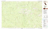
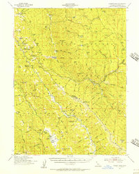
1981 Map of Pony Buck Peak
USGS Topo · Published 1981About this map
The Trinity National Forest landscape shown here in 1981 is defined by the steep, remote watersheds of the South Fork Trinity River and Hayfork Creek. This mountainous terrain, encompassing the intersection of Trinity, Shasta, and Tehama counties, reveals a history of localized settlement and resource extraction. Named homesteads and habitations like Murphy Place, St Joachim Place, and Bramlet Place are scattered along the drainage divides, suggesting a legacy of small-scale mountain ranching or seasonal residency.
Find a feature on this map
61 named features on this map. Tap any name to fly to it.
Don’t see what you’re looking for? This feature index may not catch every label — zoom into the map to look around manually.
Map Details
Editions of this 1981 Pony Buck Peak Map
This is the sole edition of this map. No revisions or reprints were ever made.
Other maps of this area

1890 · Red Bluff
USGS Topo · 1:250,000

1894 · Red Bluff
USGS Topo · 1:250,000
1918 · Anada
USGS Topo · 1:62,500
1921 · Hoaglin
USGS Topo · 1:62,500
1922 · Island Mountain
USGS Topo · 1:62,500
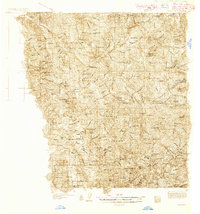
1931 · Hoaglin
USGS Topo · 1:96,000
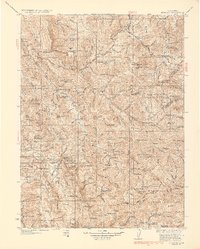
1935 · Hoaglin
USGS Topo · 1:125,000
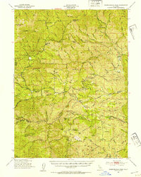
1951 · Chanchelulla Peak
USGS Topo · 1:62,500
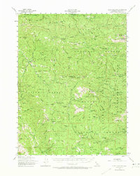
1953 · Blackrock Mtn
USGS Topo · 1:62,500
1954 · Pickett Peak
USGS Topo · 1:62,500