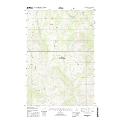
2017 Map of Pony Meadows
USGS Topo · Published 2017About this map
Payette National Forest defines the character of this high-elevation landscape along the border of Idaho and Valley Counties. The area is marked by significant topographical landmarks such as Steamboat Ridge, Steamboat Summit, and Warren Summit, which overlook a network of seasonal meadows and small mountain lakes. Keystone Meadows, Pony Meadows, and Little Pony Meadows occupy the central basins, providing a historical glimpse into the names given to these interior clearings by early travelers and forest rangers.
Find a feature on this map
50 named features on this map. Tap any name to fly to it.
Don’t see what you’re looking for? This feature index may not catch every label — zoom into the map to look around manually.
Map Details
Editions of this 2017 Pony Meadows Map
This is the sole edition of this map. No revisions or reprints were ever made.
Other maps of this area

1956 · Burgdorf
USGS Topo · 1:62,500

1956 · Warren
USGS Topo · 1:62,500

1956 · Elk City
USGS Topo · 1:250,000

1960 · Elk City
USGS Topo · 1:250,000

1969 · Loon Lake
USGS Topo · 1:24,000

1969 · Pony Meadows
USGS Topo · 1:24,000

1969 · Enos Lake
USGS Topo · 1:24,000

1969 · Parks Peak
USGS Topo · 1:24,000

1969 · Williams Peak
USGS Topo · 1:24,000

1969 · Pilot Peak
USGS Topo · 1:24,000