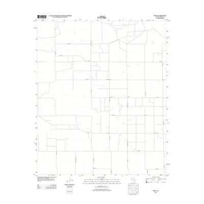
2012 Map of Pool
USGS Topo · Published 2012About this map
Pool sits as the central point of interest in this high plains landscape of Terry County, characterized by a precise grid of agricultural roads and ranching infrastructure. The territory is defined by its rural connectivity, where major arteries like Ranch Road 303 and Fm-303 intersect a network of county roads including Co Rd-250 and Co Rd-290. These routes form a distinct geometry across the Llano Estacado, reflecting a modern era of Texas ranching and industrial farming. Smaller junctions and local landmarks such as Fm-2196 and Ranch Road 3262 provide specific reference points for researchers studying the contemporary land use and property boundaries of the region. The map captures the specialized transportation network required to support this expansive West Texas environment.
Find a feature on this map
18 named features on this map. Tap any name to fly to it.
Don’t see what you’re looking for? This feature index may not catch every label — zoom into the map to look around manually.
Map Details
Editions of this 2012 Pool Map
This is the sole edition of this map. No revisions or reprints were ever made.
Other maps of this area

1954 · Brownfield
USGS Topo · 1:250,000

1958 · Brownfield
USGS Topo · 1:250,000

1962 · Brownfield
USGS Topo · 1:250,000

1965 · Sundown
USGS Topo · 1:24,000

1965 · Plains 1 NE
USGS Topo · 1:24,000

1965 · Lockettville
USGS Topo · 1:24,000

1969 · Gomez
USGS Topo · 1:24,000

1969 · Plains 1 SE
USGS Topo · 1:24,000

1969 · Sundown SE
USGS Topo · 1:24,000

1969 · Pool
USGS Topo · 1:24,000