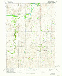
1962 Map of Poole
USGS Topo · Published 1964About this map
The South Loup River meanders across this rural Buffalo County landscape, where the Union Pacific railroad parallels the river's northern banks. The settlement of Poole serves as the local hub, established at a point where the rail line and river valley intersect. The surrounding terrain is organized into distinct townships including Beaver, Garfield, Schneider, and Cedar, each characterized by a network of drainage systems like Sand Creek and Cedar Creek.
Find a feature on this map
21 named features on this map. Tap any name to fly to it.
Don’t see what you’re looking for? This feature index may not catch every label — zoom into the map to look around manually.
Map Details
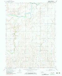
Editions of this 1962 Poole Map
2 editions found
Other maps of this area

1896 · Kearney
USGS Topo · 1:125,000

1896 · Wood River
USGS Topo · 1:125,000

1899 · Loup
USGS Topo · 1:125,000

1951 · Hazard
USGS Topo · 1:24,000

1953 · Rockville
USGS Topo · 1:24,000

1953 · Ravenna
USGS Topo · 1:24,000

1955 · Broken Bow
USGS Topo · 1:250,000

1955 · Grand Island
USGS Topo · 1:250,000

1956 · Broken Bow
USGS Topo · 1:250,000

1957 · Grand Island
USGS Topo · 1:250,000