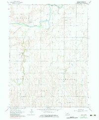
1962 Map of Poole
USGS Topo · Published 1983About this map
Poole sits along the northern banks of the South Loup River in central Nebraska, serving as a focal point for the surrounding agricultural townships of Beaver, Garfield, Cedar, and Schneider. The landscape is defined by the winding river valley and its tributaries, including Sand Creek and Cedar Creek. An Old Railroad Grade runs parallel to the river, tracing the path of former steam-era logistics that once connected these rural communities.
Find a feature on this map
16 named features on this map. Tap any name to fly to it.
Don’t see what you’re looking for? This feature index may not catch every label — zoom into the map to look around manually.
Map Details
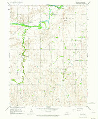
Editions of this 1962 Poole Map
2 editions found
Other maps of this area

1896 · Kearney
USGS Topo · 1:125,000

1896 · Wood River
USGS Topo · 1:125,000

1899 · Loup
USGS Topo · 1:125,000

1951 · Hazard
USGS Topo · 1:24,000

1953 · Rockville
USGS Topo · 1:24,000

1953 · Ravenna
USGS Topo · 1:24,000

1955 · Broken Bow
USGS Topo · 1:250,000

1955 · Grand Island
USGS Topo · 1:250,000

1956 · Broken Bow
USGS Topo · 1:250,000

1957 · Grand Island
USGS Topo · 1:250,000