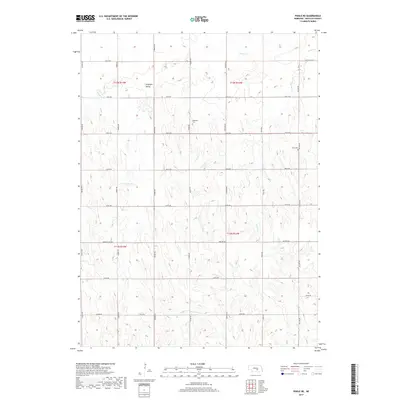
2017 Map of Poole NE
USGS Topo · Published 2017About this map
Antelope Valley defines the northwestern reaches of this Buffalo County landscape, where the terrain transitions into the subtle drainages of Sweet Cr and Cherry Cr. The area is characterized by a precise grid of rural thoroughfares, including named routes such as Grand Island Rd and Husker Rd, which reflect the enduring section-line organization of Nebraska’s agricultural heartland. For those researching local history, the map provides exact locations for two significant burial sites: Sodtown Cem, located centrally near Range Rd, and Moss Cem to the east. These small landmarks, along with the numerous unnamed farmsteads and rural structures, illustrate the stable settlement pattern of the region in the early twenty-first century.
Find a feature on this map
28 named features on this map. Tap any name to fly to it.
Don’t see what you’re looking for? This feature index may not catch every label — zoom into the map to look around manually.
Map Details
Editions of this 2017 Poole NE Map
This is the sole edition of this map. No revisions or reprints were ever made.
Other maps of this area

1895 · Wood River
USGS Topo · 1:62,500

1896 · Wood River
USGS Topo · 1:125,000

1899 · Loup
USGS Topo · 1:125,000

1953 · Rockville
USGS Topo · 1:24,000

1953 · Boelus
USGS Topo · 1:24,000

1953 · Ravenna
USGS Topo · 1:24,000

1955 · Broken Bow
USGS Topo · 1:250,000

1955 · Grand Island
USGS Topo · 1:250,000

1956 · Broken Bow
USGS Topo · 1:250,000

1957 · Grand Island
USGS Topo · 1:250,000