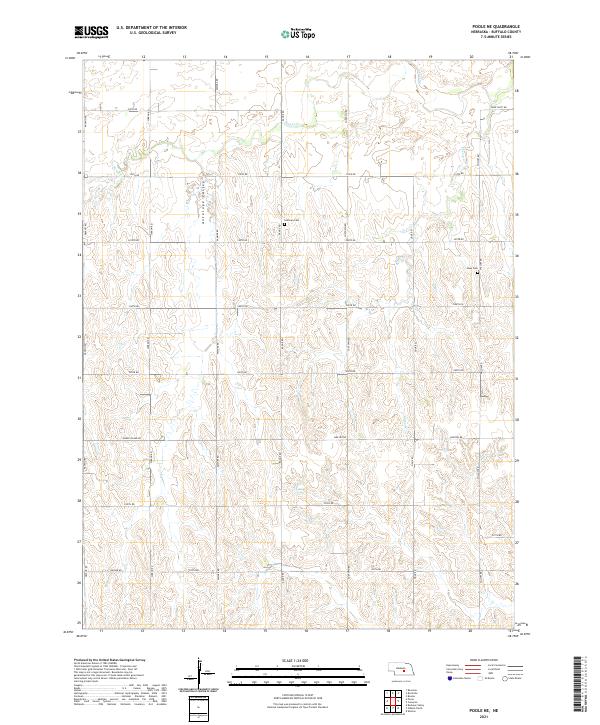
2021 Map of Poole NE
USGS Topo · Published 2021About this map
Antelope Valley carves a distinct path through this section of Buffalo County, where the agricultural landscape is defined by a rigid grid of section-line roads and seasonal drainage. The placement of Sodtown Cem and Moss Cem serves as a reminder of early homesteading patterns in this rural interior, where small rural burial grounds often represent the last remaining traces of early community centers. Water systems like Sweet Cr and Cherry Cr meander across the survey, contrasting with the engineered precision of routes like Grand Island Rd and Husker Rd. This modern USGS survey maintains the historical record of township and range boundaries, specifically within the intersections of T12N R14W and T11N R13W, providing a clear view of the township structure that has governed Nebraska land use for over a century.
Find a feature on this map
28 named features on this map. Tap any name to fly to it.
Don’t see what you’re looking for? This feature index may not catch every label — zoom into the map to look around manually.
Map Details
Editions of this 2021 Poole NE Map
This is the sole edition of this map. No revisions or reprints were ever made.
Other maps of this area

1895 · Wood River
USGS Topo · 1:62,500

1896 · Wood River
USGS Topo · 1:125,000

1899 · Loup
USGS Topo · 1:125,000

1953 · Rockville
USGS Topo · 1:24,000

1953 · Boelus
USGS Topo · 1:24,000

1953 · Ravenna
USGS Topo · 1:24,000

1955 · Broken Bow
USGS Topo · 1:250,000

1955 · Grand Island
USGS Topo · 1:250,000

1956 · Broken Bow
USGS Topo · 1:250,000

1957 · Grand Island
USGS Topo · 1:250,000