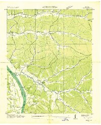
1936 Map of Pope
USGS Topo · Published 1936About this map
The Tennessee River defines the western edge of this landscape, separating Perry County from Decatur County during the mid-1930s. This riverfront economy is marked by numerous historic points of access, including Brownsport Ldg, Kellys Landing, and Gumdale Landing, which served the local settlements of Pope and Gumdale. The interior terrain is heavily dissected by drainage systems like Cedar Creek and Cypress Creek, where small rural communities were centered around landmarks such as Birds Chapel, New Hope Ch, and Simmons Ch.
Find a feature on this map
62 named features on this map. Tap any name to fly to it.
Don’t see what you’re looking for? This feature index may not catch every label — zoom into the map to look around manually.
Map Details
Editions of this 1936 Pope Map
This is the sole edition of this map. No revisions or reprints were ever made.
Other maps of this area
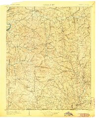
1905 · Waynesboro
USGS Topo · 1:125,000
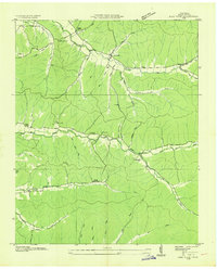
1936 · Pine View
USGS Topo · 1:24,000
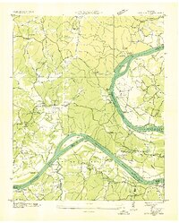
1936 · Bath Springs
USGS Topo · 1:24,000
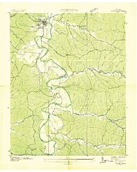
1936 · Linden
USGS Topo · 1:24,000
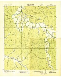
1936 · Leatherwood
USGS Topo · 1:24,000
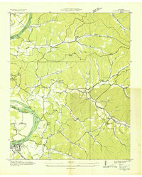
1936 · Clifton
USGS Topo · 1:24,000
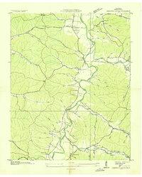
1936 · Chestnut Grove
USGS Topo · 1:24,000
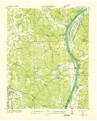
1936 · Jeannette
USGS Topo · 1:24,000
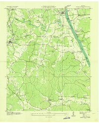
1936 · Perryville
USGS Topo · 1:24,000
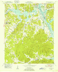
1949 · Perryville
USGS Topo · 1:24,000