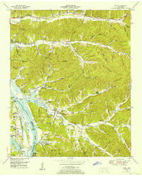
1949 Map of Pope
USGS Topo · Published 1952About this map
The Tennessee River corridor in West Tennessee is defined here by the emerging landscape of Kentucky Lake following the post-war impoundment of the river. The map details the complex transition between the river valley and the dissected uplands of Perry and Decatur Counties, where deep hollows like Allen Hollow and DePriest Hollow create a labyrinthine terrain. Historical river access points such as Brownsport Landing, Kellys Landing, and Vise Landing remain prominent, though the expansion of the Gumdale Dewatering Area signals the shift toward modern flood control and waterfowl management. An abandoned ore furnace stack near Furnace Branch serves as a tangible reminder of the region's earlier industrial period, while numerous rural institutions like Marsh Creek Church and the Sutton School anchor the scattered agrarian settlements of Pope and Gumdale.
Find a feature on this map
98 named features on this map. Tap any name to fly to it.
Don’t see what you’re looking for? This feature index may not catch every label — zoom into the map to look around manually.
Map Details
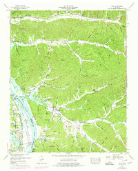
Editions of this 1949 Pope Map
2 editions found
Other maps of this area

1905 · Waynesboro
USGS Topo · 1:125,000

1936 · Pine View
USGS Topo · 1:24,000

1936 · Bath Springs
USGS Topo · 1:24,000

1936 · Linden
USGS Topo · 1:24,000

1936 · Leatherwood
USGS Topo · 1:24,000

1936 · Clifton
USGS Topo · 1:24,000

1936 · Chestnut Grove
USGS Topo · 1:24,000

1936 · Jeannette
USGS Topo · 1:24,000

1936 · Perryville
USGS Topo · 1:24,000

1936 · Pope
USGS Topo · 1:24,000