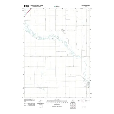
2010 Map of Popejoy
USGS Topo · Published 2010About this map
The Iowa River meanders across this Hardin County landscape, defining the character of small prairie settlements in the early 21st century. The town of Popejoy sits in the northern portion of the map, anchored by the Popejoy Post Office, while the community of Alden occupies the southeastern corner with its own Alden Post Office and the Alden Cemetery. Central to the map's geography is Oakland, situated near the Oakland Valley Cemetery along a sharp bend in the river. This region is marked by a rigorous section-line road grid, where names like Cardinal Ave and Dogwood Ave intersect numbered routes like 45th St. The southern terrain is dominated by the South Fork Iowa River, which cuts diagonally through the townships, while Sheldon Creek feeds into the main river channel in the northwest, illustrating the essential drainage patterns of this agricultural heartland.
Find a feature on this map
44 named features on this map. Tap any name to fly to it.
Don’t see what you’re looking for? This feature index may not catch every label — zoom into the map to look around manually.
Map Details
Editions of this 2010 Popejoy Map
This is the sole edition of this map. No revisions or reprints were ever made.
Other maps of this area

1954 · Waterloo
USGS Topo · 1:250,000

1955 · Waterloo
USGS Topo · 1:250,000

1978 · Sheldon Creek
USGS Topo · 1:24,000

1978 · Dows West
USGS Topo · 1:24,000

1978 · Williams
USGS Topo · 1:24,000

1979 · Dows East
USGS Topo · 1:24,000

1979 · Coulter
USGS Topo · 1:24,000

1979 · Iowa Falls West
USGS Topo · 1:24,000

1979 · Buckeye West
USGS Topo · 1:24,000

1979 · Buckeye East
USGS Topo · 1:24,000