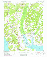
1953 Map of Popes Creek
USGS Topo · Published 1978About this map
The Wicomico River and Zekiah Swamp Run dominate this coastal landscape in southern Maryland, where agricultural fields and dense woodlands meet tidal marshes. The Penn Central railroad cuts a north-south line through the territory, serving local centers such as Bel Alton (Cox Sta) and Faulkner. Further south, the line terminates near the Potomac River at the landing at Popes Creek, a historically significant transshipment point for tobacco and regional commerce.
Find a feature on this map
86 named features on this map. Tap any name to fly to it.
Don’t see what you’re looking for? This feature index may not catch every label — zoom into the map to look around manually.
Map Details
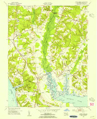
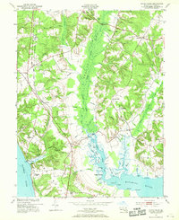
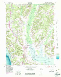
Editions of this 1953 Popes Creek Map
5 editions found

Other maps of this area

1889 · Fredericksburg
USGS Topo · 1:125,000

1890 · Mt. Vernon
USGS Topo · 1:125,000

1891 · Mt. Vernon
USGS Topo · 1:125,000

1892 · Fredericksburg
USGS Topo · 1:125,000

1892 · Brandywine
USGS Topo · 1:62,500

1894 · Wicomico
USGS Topo · 1:62,500

1894 · Fredericksburg
USGS Topo · 1:125,000

1894 · Mt. Vernon
USGS Topo · 1:125,000

1895 · Wicomico
USGS Topo · 1:62,500

1895 · Brandywine
USGS Topo · 1:62,500