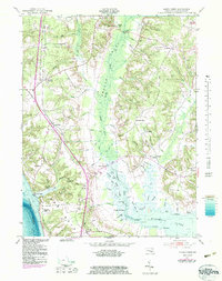
1953 Map of Popes Creek
USGS Topo · Published 1983About this map
The Wicomico Neck is defined by a dense network of tidal guts and meandering runs, where the Wicomico River meets the historic tobacco-growing lands of southern Maryland. This mid-century landscape is dominated by the broad, marshy corridor of Zekiah Swamp Run, which separates established inland settlements like Bel Alton (Cox Sta) and Faulkner from the riverfront terrain. The industrial and transit patterns of the era are visible along the Conrail line, which connects the namesake waterfront at Popes Creek to the interior. Genealogical interest is high around the rural junctions of Newport and Dentsville, where St Marys Ch and local landmarks like Rogers Mill anchor the community history. The addition of bathymetry reveals the complex underwater topography of the Wicomico River near Budds Landing and Foggy Bottoms, showing the transition from navigable water to the silted reaches of Allens Fresh Run.
Find a feature on this map
71 named features on this map. Tap any name to fly to it.
Don’t see what you’re looking for? This feature index may not catch every label — zoom into the map to look around manually.
Map Details
Editions of this 1953 Popes Creek Map
5 editions found

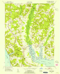
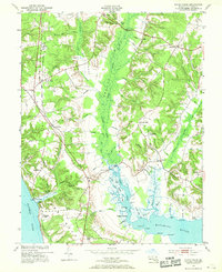
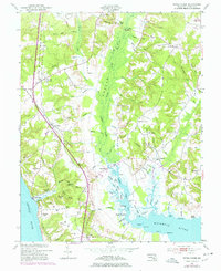
Other maps of this area

1889 · Fredericksburg
USGS Topo · 1:125,000

1890 · Mt. Vernon
USGS Topo · 1:125,000

1891 · Mt. Vernon
USGS Topo · 1:125,000

1892 · Fredericksburg
USGS Topo · 1:125,000

1892 · Brandywine
USGS Topo · 1:62,500

1894 · Wicomico
USGS Topo · 1:62,500

1894 · Fredericksburg
USGS Topo · 1:125,000

1894 · Mt. Vernon
USGS Topo · 1:125,000

1895 · Wicomico
USGS Topo · 1:62,500

1895 · Brandywine
USGS Topo · 1:62,500