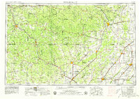
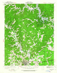
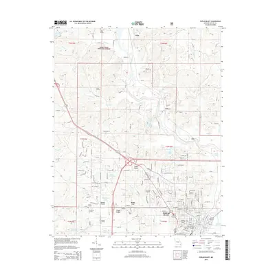
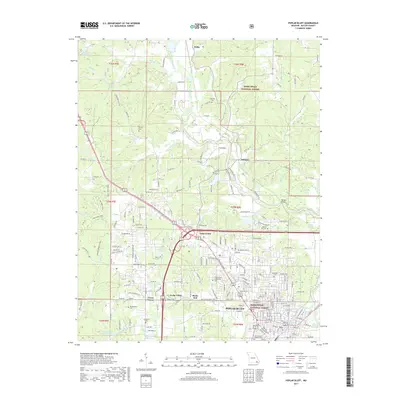
1957 Map of Poplar Bluff
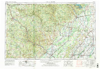
USGS Topo · Published 1979About this map
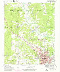
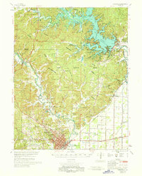
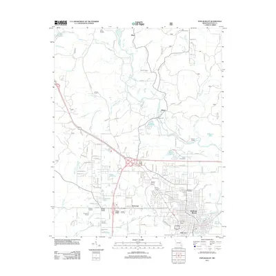
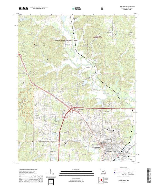
The Ozark Escarpment divides this region where the rugged foothills of the Ozark Mountains meet the fertile lowlands of the Mississippi embayment. Centered on Poplar Bluff, the map documents a complex landscape of managed timberlands within the Mark Twain National Forest and the significant hydrological engineering of Wappapello Lake. The drainage of the Mingo Swamp into the Mingo National Wildlife Refuge illustrates the transition from wild wetlands to the productive agricultural fields of the Missouri Bootheel and Northeast Arkansas.
Find a feature on this map
209 named features on this map. Tap any name to fly to it.
Don’t see what you’re looking for? This feature index may not catch every label — zoom into the map to look around manually.
Map Details
Editions of this 1957 Poplar Bluff Map
3 editions found

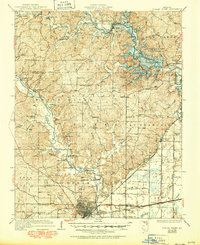
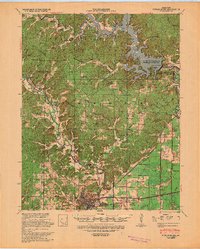
Historical Maps of Paragould Through Time
13 maps found
1935 Poplar Bluff
Butler County, MO
1939 Poplar Bluff
Butler County, MO
1949 Poplar Bluff
Butler County, MO
1957 Poplar Bluff
Butler County, MO

1959 Poplar Bluff
Butler County, MO

1960 Poplar Bluff
Butler County, MO
1966 Poplar Bluff
Butler County, MO
1968 Poplar Bluff
Butler County, MO

1983 Poplar Bluff
Butler County, MO
2011 Poplar Bluff
Butler County, MO
2015 Poplar Bluff
Butler County, MO
2017 Poplar Bluff
Butler County, MO
2021 Poplar Bluff
Butler County, MO