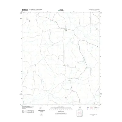
2012 Map of Poplar Creek
USGS Topo · Published 2012About this map
Poplar Creek sits at the heart of this Montgomery County landscape, where a dense network of country roads like Old Boyd Rd and Poplar Creek Rd connects scattered family cemeteries and small rural holdings. The terrain is defined by the winding course of Poplar Cr and its numerous tributaries, including Little Poplar Cr and Armstrong Br, which drain the area toward the southern reach of Zilpha Cr. In the south, the modest elevation of Arnold Mountain stands near the confluence of Panther Cr, overlooking a region deeply rooted in local genealogy. Many burial grounds are found throughout the area, such as Old Pine Bluff Cem, Joe Walker Cem, and Shiloh Cem, which alongside both Old Friendship Cem and the newer Friendship Cem, provide critical touchstones for family researchers tracing generations in this part of Mississippi.
Find a feature on this map
60 named features on this map. Tap any name to fly to it.
Don’t see what you’re looking for? This feature index may not catch every label — zoom into the map to look around manually.
Map Details
Editions of this 2012 Poplar Creek Map
This is the sole edition of this map. No revisions or reprints were ever made.
Other maps of this area

1953 · West Point
USGS Topo · 1:250,000

1958 · West Point
USGS Topo · 1:250,000

1963 · West Point
USGS Topo · 1:250,000

1964 · Kosciusko NE
USGS Topo · 1:24,000

1964 · Hesterville
USGS Topo · 1:24,000

1966 · Kilmichael
USGS Topo · 1:24,000

1966 · Poplar Creek
USGS Topo · 1:24,000

1966 · Winona
USGS Topo · 1:24,000

1966 · Kosciusko
USGS Topo · 1:62,500

1966 · Stewart
USGS Topo · 1:24,000