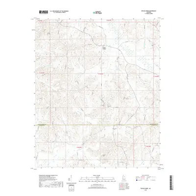
2018 Map of Poplar Creek
USGS Topo · Published 2018About this map
Poplar Creek serves as a central point in this part of Mississippi, where the boundary between Montgomery and Attala counties divides the landscape. The terrain is defined by a dense network of small watercourses, including Bagasha Cr and Zilpha Cr, which carve through the elevations near Arnold Mtn. This area is notable for its high concentration of family and community burial grounds, such as Joe Walker Cem, Old Friendship Cem, and the Old Pine Bluff Cem, indicating a long-established settlement pattern deeply connected to these specific hillsides and rural roads. The distribution of sites like Shiloh Cem and Adams Cem along the winding road network, including Poplar Creek Rd and Pine Bluff Rd, suggests a community structured around local landmarks and family lineages rather than large urban centers.
Find a feature on this map
67 named features on this map. Tap any name to fly to it.
Don’t see what you’re looking for? This feature index may not catch every label — zoom into the map to look around manually.
Map Details
Editions of this 2018 Poplar Creek Map
This is the sole edition of this map. No revisions or reprints were ever made.
Other maps of this area

1953 · West Point
USGS Topo · 1:250,000

1958 · West Point
USGS Topo · 1:250,000

1963 · West Point
USGS Topo · 1:250,000

1964 · Kosciusko NE
USGS Topo · 1:24,000

1964 · Hesterville
USGS Topo · 1:24,000

1966 · Kilmichael
USGS Topo · 1:24,000

1966 · Poplar Creek
USGS Topo · 1:24,000

1966 · Winona
USGS Topo · 1:24,000

1966 · Kosciusko
USGS Topo · 1:62,500

1966 · Stewart
USGS Topo · 1:24,000