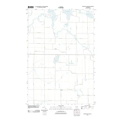
2010 Map of Poquettes Lake
USGS Topo · Published 2010About this map
Bashaw sits at the junction of County Hwy-B and Poquette Lake Rd in a landscape defined by an intricate network of glacial lakes and meandering waterways. The Yellow River snakes across the northern half of the quadrangle, feeding into Rice Lake and passing near Lipsett Lake and Bass Lake. This 2010 survey illustrates a rural settlement pattern where narrow roads like Rolling Green Rd and Dock Lake Rd provide access to waterfront properties and remote timberlands. Cultural landmarks include the Greendale Cemetery, located centrally near the intersection of Scenic View Rd and Greenfield Rd. Further south, the terrain is drained by Bashaw Brook and Montgomery Creek, which cut through the woods and wetlands that characterize this portion of Burnett County.
Find a feature on this map
50 named features on this map. Tap any name to fly to it.
Don’t see what you’re looking for? This feature index may not catch every label — zoom into the map to look around manually.
Map Details
Editions of this 2010 Poquettes Lake Map
This is the sole edition of this map. No revisions or reprints were ever made.
Other maps of this area

1948 · Spooner
USGS Topo · 1:48,000

1949 · Hertel
USGS Topo · 1:48,000

1949 · Spooner
USGS Topo · 1:48,000

1951 · Cumberland
USGS Topo · 1:48,000

1951 · Shell Lake
USGS Topo · 1:48,000

1953 · Rice Lake
USGS Topo · 1:250,000

1953 · Stillwater
USGS Topo · 1:250,000

1955 · Hertel
USGS Topo · 1:62,500

1955 · Stillwater
USGS Topo · 1:250,000

1956 · Cumberland
USGS Topo · 1:62,500