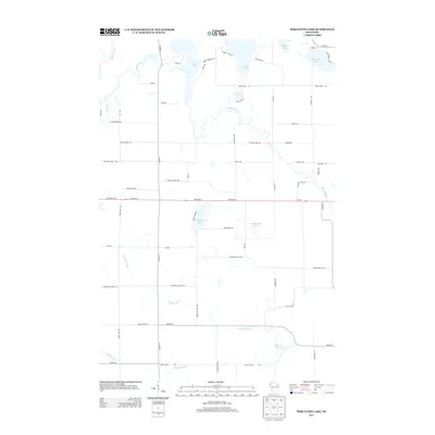
2013 Map of Poquettes Lake
USGS Topo · Published 2013About this map
The Yellow River meanders through this portion of Burnett and Washburn counties, defining a landscape dominated by glacial lakes and tributary streams. In the early 21st century, the area remains characterized by its dense network of water bodies, including Rice Lake, Lipsett Lake, and the map's namesake, Poquettes Lake. These lakes are connected by a grid of rural roads and tracks such as Indian Mounds Rd and Mail Rd, which suggest the historical paths used for local transit and communication.
Find a feature on this map
57 named features on this map. Tap any name to fly to it.
Don’t see what you’re looking for? This feature index may not catch every label — zoom into the map to look around manually.
Map Details
Editions of this 2013 Poquettes Lake Map
This is the sole edition of this map. No revisions or reprints were ever made.
Other maps of this area
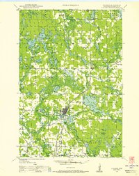
1948 · Spooner
USGS Topo · 1:48,000
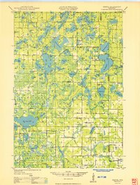
1949 · Hertel
USGS Topo · 1:48,000
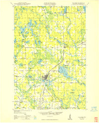
1949 · Spooner
USGS Topo · 1:48,000
1951 · Cumberland
USGS Topo · 1:48,000
1951 · Shell Lake
USGS Topo · 1:48,000

1953 · Rice Lake
USGS Topo · 1:250,000

1953 · Stillwater
USGS Topo · 1:250,000
1955 · Hertel
USGS Topo · 1:62,500

1955 · Stillwater
USGS Topo · 1:250,000
1956 · Cumberland
USGS Topo · 1:62,500