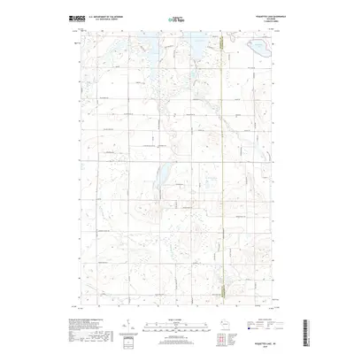
2018 Map of Poquettes Lake
USGS Topo · Published 2018About this map
Rice Lake and the winding course of the Yellow River dominate the northern landscape of this region on the boundary of Burnett and Washburn counties. The area is defined by a dense network of glacial lakes and wetlands, including Lipsett Lake and Glendenning Lake, interspersed with a rural grid of roads named for local landmarks and families. Evidence of early land use and community life is visible at the Greendale Cem and along Indian Mounds Rd, hinting at the long history of human presence near these water bodies.
Find a feature on this map
64 named features on this map. Tap any name to fly to it.
Don’t see what you’re looking for? This feature index may not catch every label — zoom into the map to look around manually.
Map Details
Editions of this 2018 Poquettes Lake Map
This is the sole edition of this map. No revisions or reprints were ever made.
Other maps of this area

1948 · Spooner
USGS Topo · 1:48,000

1949 · Hertel
USGS Topo · 1:48,000

1949 · Spooner
USGS Topo · 1:48,000

1951 · Cumberland
USGS Topo · 1:48,000

1951 · Shell Lake
USGS Topo · 1:48,000

1953 · Rice Lake
USGS Topo · 1:250,000

1953 · Stillwater
USGS Topo · 1:250,000

1955 · Hertel
USGS Topo · 1:62,500

1955 · Stillwater
USGS Topo · 1:250,000

1956 · Cumberland
USGS Topo · 1:62,500