
1948 Map of Port Alexander A-1
USGS Topo · Published 1957About this map
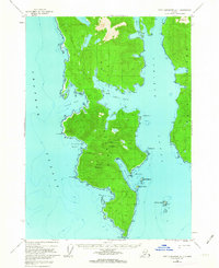
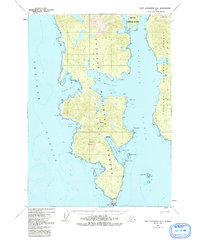
Kuiu Island anchors this maritime survey of the Alexander Archipelago, showing the jagged southern coastline where the Chatham Strait meets the Affleck Canal. At the southernmost tip of the island stands the Lighthouse at Cape Decision, a critical navigational aid for vessels navigating the complex waterways of Southeast Alaska. The topography is dominated by the elevations of Mount McArthur and Mount Howard, which rise sharply above deep-water inlets like Port McArthur and Kell Bay. This late-1940s aerial compilation reveals a landscape defined by its relation to the sea, where tidal flats and sheltered harbors like Bear Harbor offered the only refuge for coastal mariners. Small island clusters, including the Bush Islets and Fairway Island, dot the surrounding waters, marking the hazardous approaches to the inner reaches of the island.
Find a feature on this map
21 named features on this map. Tap any name to fly to it.
Don’t see what you’re looking for? This feature index may not catch every label — zoom into the map to look around manually.
Map Details
Editions of this 1948 Port Alexander A-1 Map
3 editions found
Other maps of this area

1948 · Petersburg A-6
USGS Topo · 1:63,360

1948 · Petersburg B-6
USGS Topo · 1:63,360

1948 · Port Alexander B-1
USGS Topo · 1:63,360

1948 · Port Alexander A-2
USGS Topo · 1:63,360
1948 · Craig D-7 and D-8
USGS Topo · 1:63,360

1948 · Port Alexander B-2
USGS Topo · 1:63,360

1951 · Craig D-6
USGS Topo · 1:63,360

1951 · Port Alexander
USGS Topo · 1:250,000

1951 · Port Alexander B-2
USGS Topo · 1:63,360

1951 · Petersburg B-6
USGS Topo · 1:63,360