
1952 Map of Port Alexander
USGS Topo · Published 1953About this map
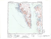
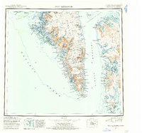
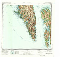
Port Alexander stands as the primary outpost on this coastal survey, situated near the southern tip of Baranof Island at the gateway to the Pacific Ocean. Compiled in the early 1950s using aerial photography from the late 1920s and 1940s, the map documents a maritime landscape of secluded cabins and industrial sites like the Cannery at Saginaw Bay. The terrain is characterized by deep fjords and high peaks, including Mt Muravief and Mt Hagemeister, which feed numerous glacial lakes such as Redoubt Lake and Plotnikof Lake.
Find a feature on this map
73 named features on this map. Tap any name to fly to it.
Don’t see what you’re looking for? This feature index may not catch every label — zoom into the map to look around manually.
Map Details
Editions of this 1952 Port Alexander Map
4 editions found
Other maps of this area

1948 · Sitka A-5
USGS Topo · 1:63,360

1948 · Sitka A-3
USGS Topo · 1:63,360

1948 · Sitka A-2
USGS Topo · 1:63,360

1948 · Port Alexander C-1
USGS Topo · 1:63,360

1948 · Petersburg A-6
USGS Topo · 1:63,360

1948 · Port Alexander A-1
USGS Topo · 1:63,360

1948 · Petersburg B-6
USGS Topo · 1:63,360

1948 · Sumdum A-6
USGS Topo · 1:63,360

1948 · Port Alexander B-1
USGS Topo · 1:63,360

1948 · Petersburg D-6
USGS Topo · 1:63,360