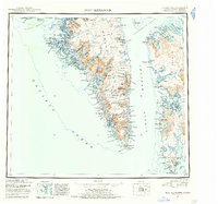
1952 Map of Port Alexander
USGS Topo · Published 1955About this map
The southern tip of Baranof Island and the rugged shoreline of Kuiu Island define this coastal survey, where the maritime economy of mid-century Alaska is visible through isolated outposts and industrial sites. The settlement of Port Alexander sits near the entrance to Chatham Strait, serving as a focal point for the region's fishing and maritime activities alongside features like a Cannery and Mines found further north. This landscape is a complex network of deep fjords and interior lakes, including the expansive Plotnikof Lake and Redoubt Lake, which drain through the steep terrain into the Pacific Ocean.
Find a feature on this map
57 named features on this map. Tap any name to fly to it.
Don’t see what you’re looking for? This feature index may not catch every label — zoom into the map to look around manually.
Map Details
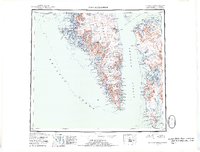
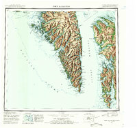
Editions of this 1952 Port Alexander Map
4 editions found

Other maps of this area

1948 · Sitka A-5
USGS Topo · 1:63,360

1948 · Sitka A-3
USGS Topo · 1:63,360

1948 · Sitka A-2
USGS Topo · 1:63,360

1948 · Port Alexander C-1
USGS Topo · 1:63,360

1948 · Petersburg A-6
USGS Topo · 1:63,360

1948 · Port Alexander A-1
USGS Topo · 1:63,360

1948 · Petersburg B-6
USGS Topo · 1:63,360

1948 · Sumdum A-6
USGS Topo · 1:63,360

1948 · Port Alexander B-1
USGS Topo · 1:63,360

1948 · Petersburg D-6
USGS Topo · 1:63,360