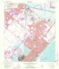
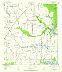
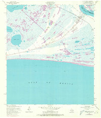
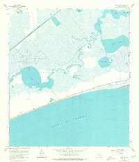
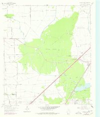
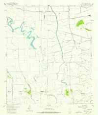
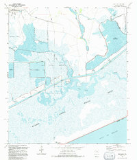
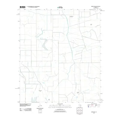
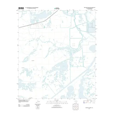
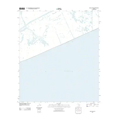
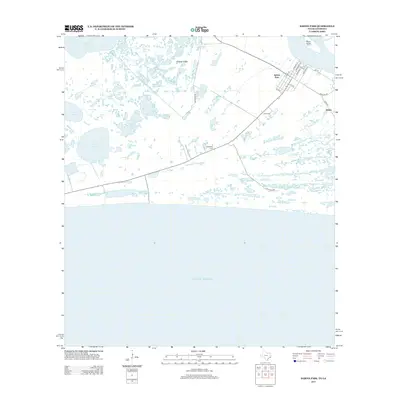
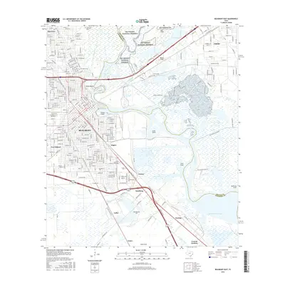
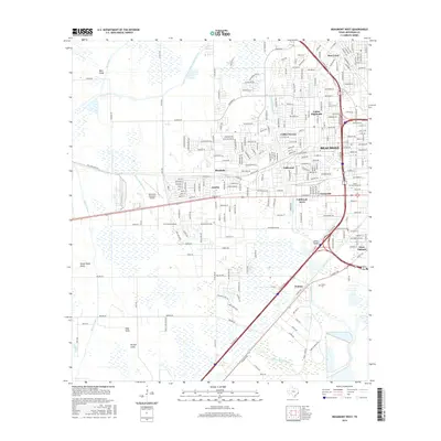
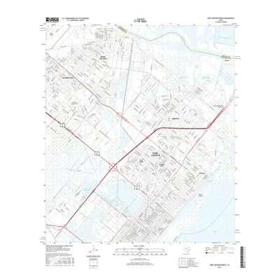
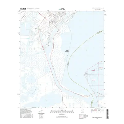
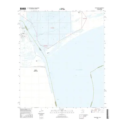
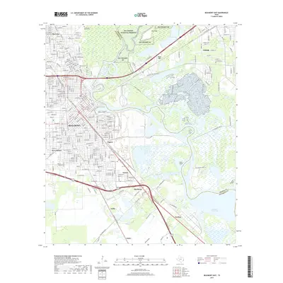
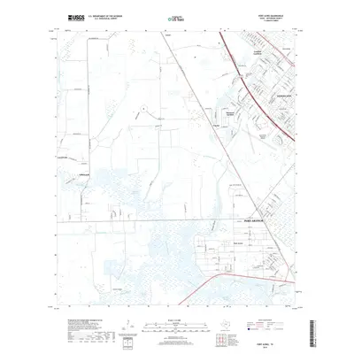
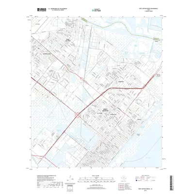
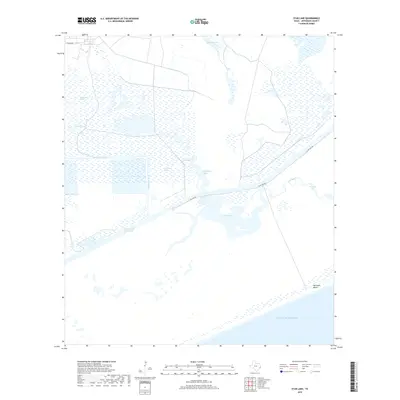
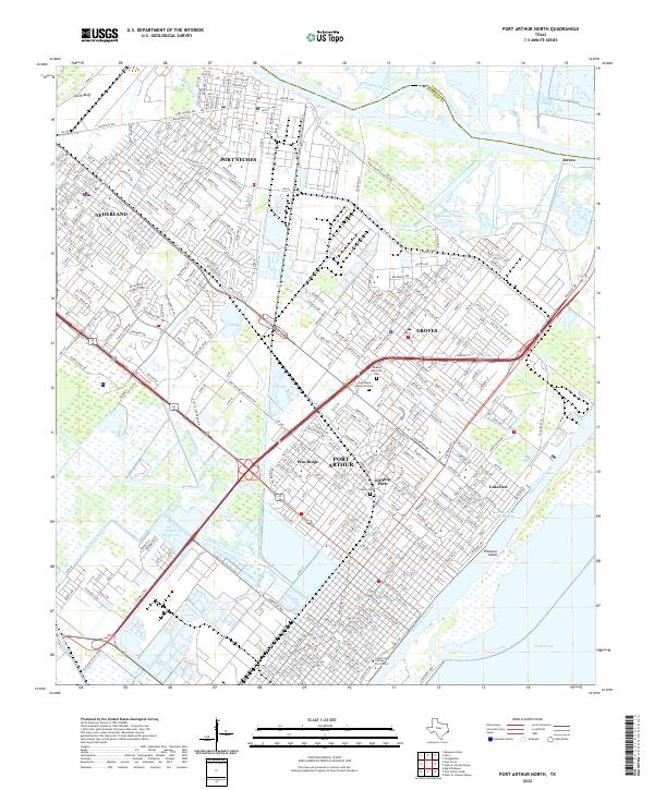
1957 Map of Port Arthur North
USGS Topo · Published 1983About this map
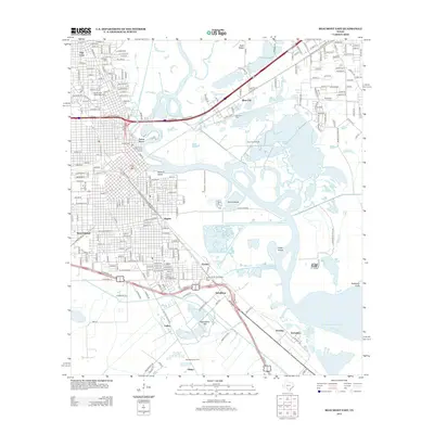
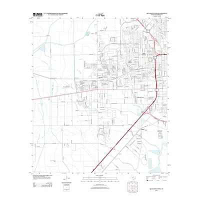
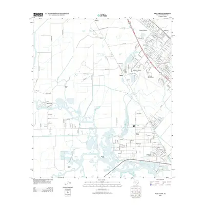
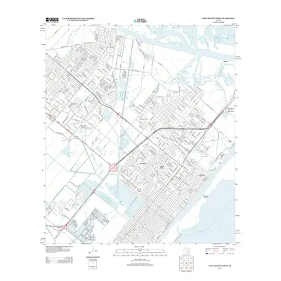
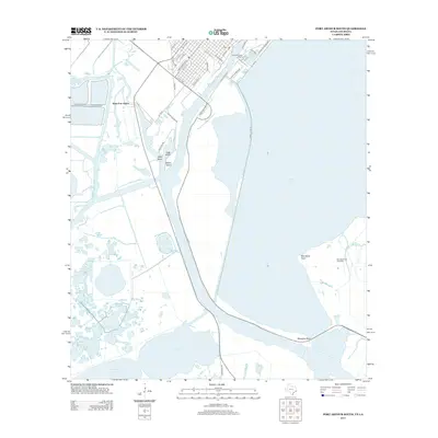
Refinery and tank farm operations dominate this mid-century industrial landscape along the Neches-River, capturing the intense mid-century development of the Golden Triangle. The map details the dense residential growth of Groves, Port Arthur, and Nederland, showing how these communities expanded toward the massive petroleum infrastructure that defined the local economy. Significant transit corridors like the Kansas City Southern railroad and the Sabine-Neches Waterway highlight the region's role as a global shipping hub. For genealogists and local historians, the sheet is exceptionally detailed in its labeling of civic life, noting numerous neighborhood institutions including Port Neches-Groves High Sch, St Marys Hospital, and Oak Bluff Memorial Park. The inclusion of smaller enclaves like Pear Ridge and Griffing Park provides a clear view of suburban organization before later annexations.
Find a feature on this map
63 named features on this map. Tap any name to fly to it.
Don’t see what you’re looking for? This feature index may not catch every label — zoom into the map to look around manually.
Map Details
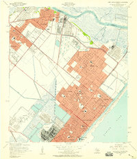
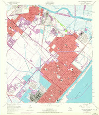
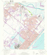
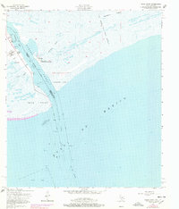
Editions of this 1957 Port Arthur North Map
4 editions found
Historical Maps of Port Arthur Through Time
134 maps found

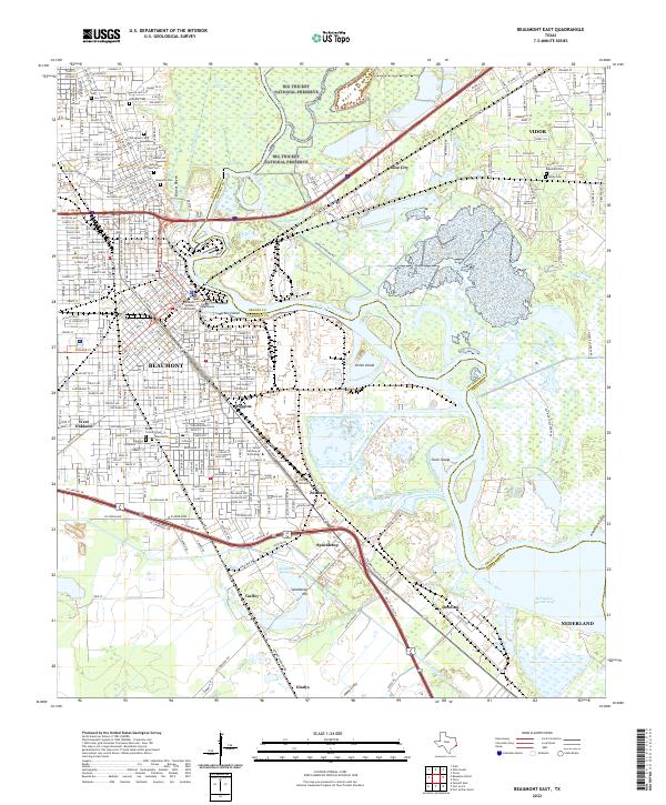
1943 Beaumont East
Jefferson County, TX
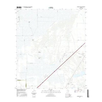
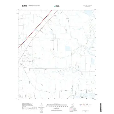
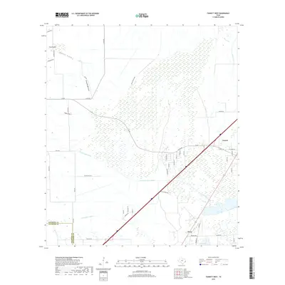
1943 Fannett East
Jefferson County, TX

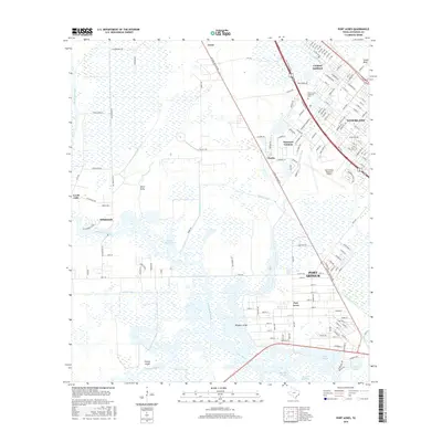
1943 Port Arthur North
Jefferson County, TX
1943 Port Arthur South
Jefferson County, TX

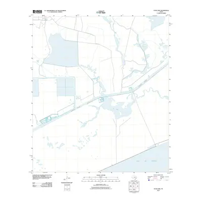
1944 Sabine Pass
Jefferson County, TX

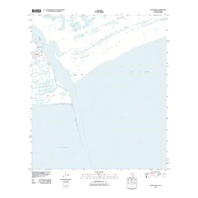
1944 Texas Point
Jefferson County, TX

1945 Fannett East
Jefferson County, TX

1945 Nolte
Jefferson County, TX
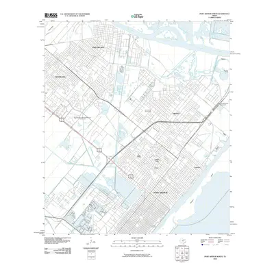
1957 Port Arthur North
Jefferson County, TX
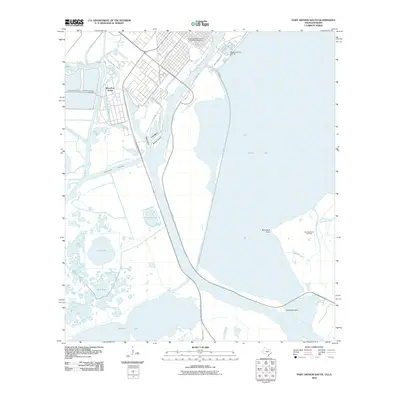
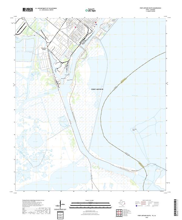
1957 Port Arthur South
Jefferson County, TX
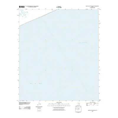
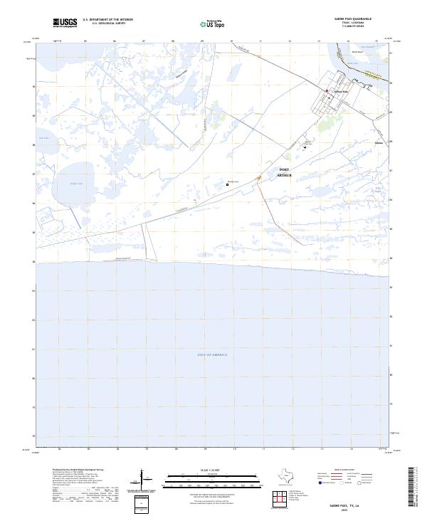
1957 Sabine Pass
Jefferson County, TX
1957 Sabine Pass
Jefferson County, TX
1957 Texas Point
Jefferson County, TX
1960 Beaumont East
Jefferson County, TX
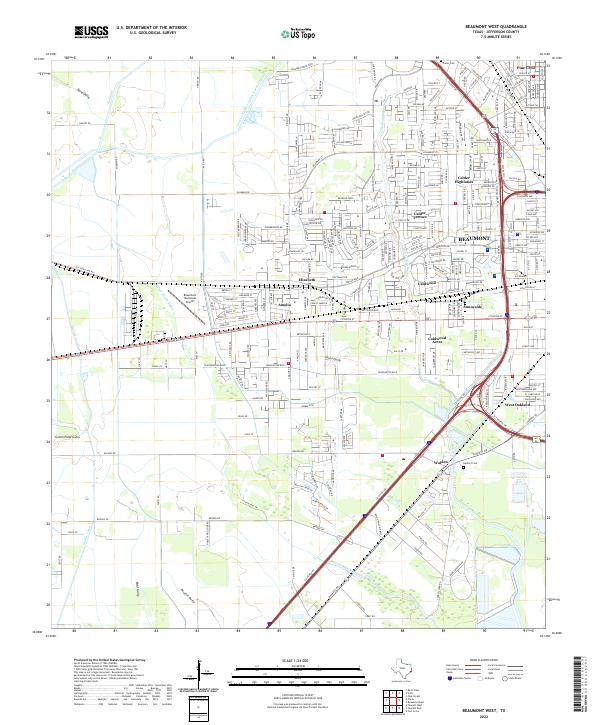
1960 Beaumont West
Jefferson County, TX
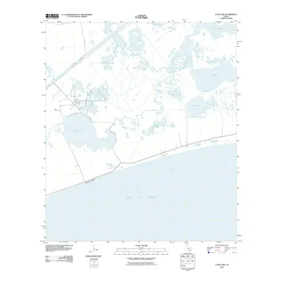
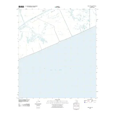
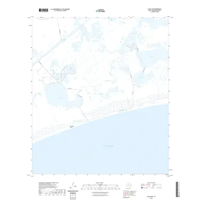
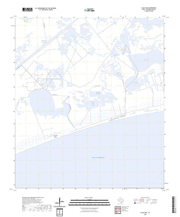
1961 Clam Lake
Jefferson County, TX
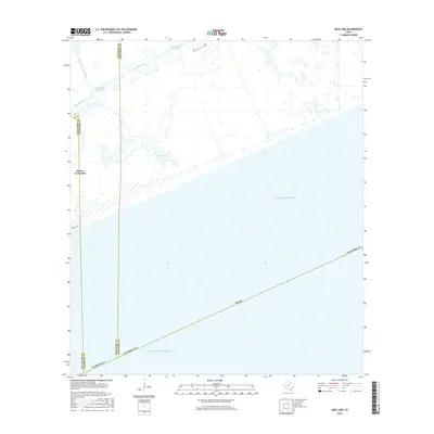
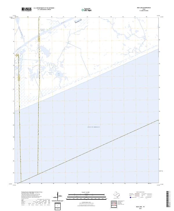
1961 Mud Lake
Jefferson County, TX
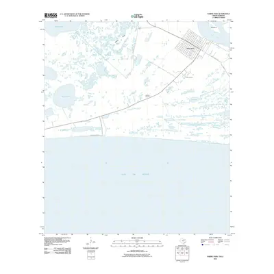
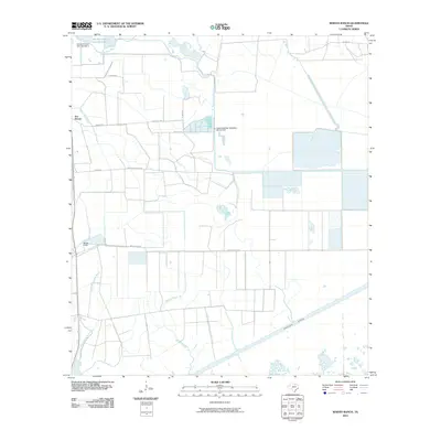
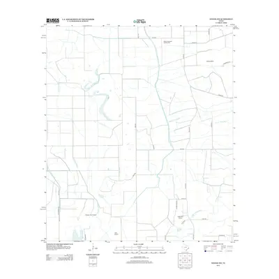
1961 Star Lake
Jefferson County, TX

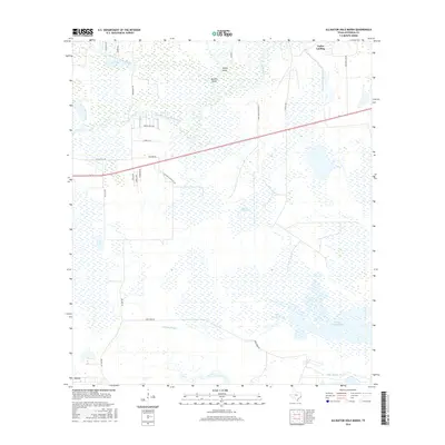
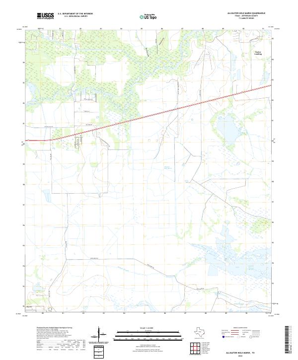
1962 Alligator Hole Marsh
Jefferson County, TX
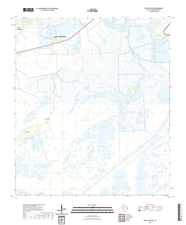
1962 Big Hill Bayou
Jefferson County, TX

1962 Fannett East
Jefferson County, TX
1962 Fannett West
Jefferson County, TX
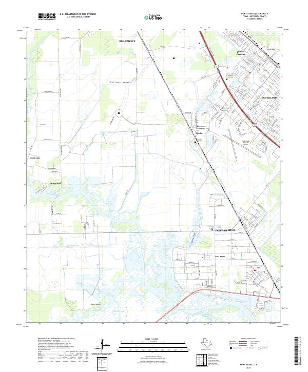
1962 Port Acres
Jefferson County, TX
1962 South of Star Lake
Jefferson County, TX
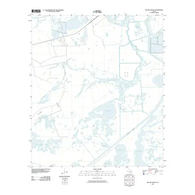
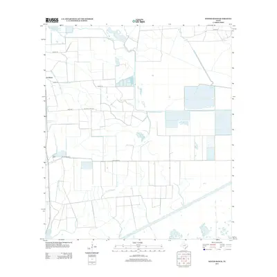
1962 Whites Ranch
Jefferson County, TX
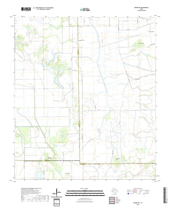
1962 Winnie NW
Jefferson County, TX

1993 Alligator Hole Marsh
Jefferson County, TX

1993 Big Hill Bayou
Jefferson County, TX
1993 Clam Lake
Jefferson County, TX

1993 Fannett West
Jefferson County, TX

1993 Port Acres
Jefferson County, TX

1993 Port Arthur North
Jefferson County, TX

1993 Port Arthur South
Jefferson County, TX

1993 Sabine Pass
Jefferson County, TX

1993 Texas Point
Jefferson County, TX
1993 Whites Ranch
Jefferson County, TX

1994 Beaumont East
Jefferson County, TX

1994 Beaumont West
Jefferson County, TX

1994 Fannett East
Jefferson County, TX

1994 Mud Lake
Jefferson County, TX
1994 South of Star Lake
Jefferson County, TX
1994 Star Lake
Jefferson County, TX

1994 Winnie NW
Jefferson County, TX
2010 Alligator Hole Marsh
Jefferson County, TX
2010 Beaumont East
Jefferson County, TX
2010 Beaumont West
Jefferson County, TX
2010 Big Hill Bayou
Jefferson County, TX
2010 Clam Lake
Jefferson County, TX
2010 Fannett East
Jefferson County, TX
2010 Fannett West
Jefferson County, TX
2010 Mud Lake
Jefferson County, TX

2010 Port Acres
Jefferson County, TX
2010 Port Arthur North
Jefferson County, TX
2010 Port Arthur South
Jefferson County, TX
2010 Sabine Pass
Jefferson County, TX
2010 South of Star Lake
Jefferson County, TX
2010 Star Lake
Jefferson County, TX
2010 Texas Point
Jefferson County, TX
2010 Whites Ranch
Jefferson County, TX
2010 Winnie NW
Jefferson County, TX
2013 Alligator Hole Marsh
Jefferson County, TX
2013 Beaumont East
Jefferson County, TX
2013 Beaumont West
Jefferson County, TX
2013 Big Hill Bayou
Jefferson County, TX
2013 Clam Lake
Jefferson County, TX
2013 Fannett East
Jefferson County, TX
2013 Fannett West
Jefferson County, TX
2013 Mud Lake
Jefferson County, TX
2013 Port Acres
Jefferson County, TX
2013 Port Arthur North
Jefferson County, TX
2013 Port Arthur South
Jefferson County, TX
2013 Sabine Pass
Jefferson County, TX
2013 South of Star Lake
Jefferson County, TX
2013 Star Lake
Jefferson County, TX
2013 Texas Point
Jefferson County, TX
2013 Whites Ranch
Jefferson County, TX
2013 Winnie NW
Jefferson County, TX
2016 Alligator Hole Marsh
Jefferson County, TX
2016 Beaumont East
Jefferson County, TX
2016 Beaumont West
Jefferson County, TX
2016 Big Hill Bayou
Jefferson County, TX
2016 Clam Lake
Jefferson County, TX
2016 Fannett East
Jefferson County, TX
2016 Fannett West
Jefferson County, TX
2016 Mud Lake
Jefferson County, TX
2016 Port Acres
Jefferson County, TX
2016 Port Arthur North
Jefferson County, TX
2016 Port Arthur South
Jefferson County, TX
2016 Sabine Pass
Jefferson County, TX
2016 South of Star Lake
Jefferson County, TX
2016 Star Lake
Jefferson County, TX
2016 Texas Point
Jefferson County, TX
2016 Whites Ranch
Jefferson County, TX
2016 Winnie NW
Jefferson County, TX
2019 Alligator Hole Marsh
Jefferson County, TX
2019 Beaumont East
Jefferson County, TX
2019 Beaumont West
Jefferson County, TX
2019 Big Hill Bayou
Jefferson County, TX
2019 Clam Lake
Jefferson County, TX
2019 Fannett East
Jefferson County, TX
2019 Fannett West
Jefferson County, TX
2019 Mud Lake
Jefferson County, TX
2019 Port Acres
Jefferson County, TX
2019 Port Arthur North
Jefferson County, TX
2019 Port Arthur South
Jefferson County, TX
2019 Sabine Pass
Jefferson County, TX
2019 South of Star Lake
Jefferson County, TX
2019 Star Lake
Jefferson County, TX
2019 Texas Point
Jefferson County, TX
2019 Whites Ranch
Jefferson County, TX
2019 Winnie NW
Jefferson County, TX
2022 Alligator Hole Marsh
Jefferson County, TX
2022 Beaumont East
Jefferson County, TX
2022 Beaumont West
Jefferson County, TX
2022 Big Hill Bayou
Jefferson County, TX
2022 Clam Lake
Jefferson County, TX
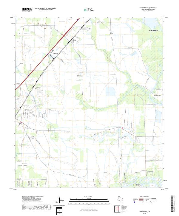
2022 Fannett East
Jefferson County, TX
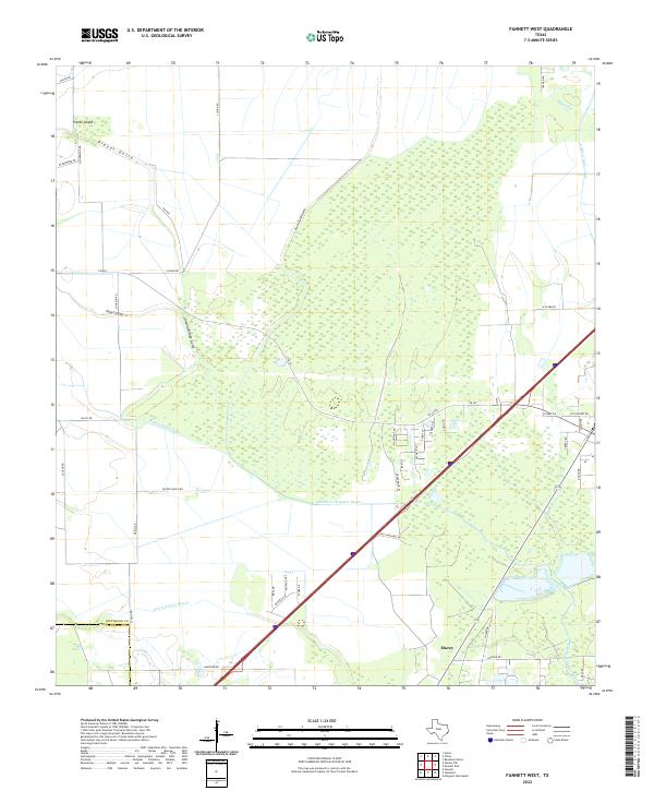
2022 Fannett West
Jefferson County, TX
2022 Mud Lake
Jefferson County, TX
2022 Port Acres
Jefferson County, TX
2022 Port Arthur North
Jefferson County, TX
2022 Port Arthur South
Jefferson County, TX
2022 Sabine Pass
Jefferson County, TX
2022 South of Star Lake
Jefferson County, TX
2022 Star Lake
Jefferson County, TX
2022 Texas Point
Jefferson County, TX
2022 Whites Ranch
Jefferson County, TX
2022 Winnie NW
Jefferson County, TX
2025 Clam Lake
Jefferson County, TX
2025 Mud Lake
Jefferson County, TX
2025 Sabine Pass
Jefferson County, TX
2025 South of Star Lake
Jefferson County, TX
2025 Star Lake
Jefferson County, TX
2025 Texas Point
Jefferson County, TX