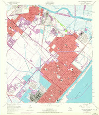
1957 Map of Port Arthur North
USGS Topo · Published 1972About this map
The industrial corridor of the upper Texas coast is defined here by the massive Refinery operations and Tank Farm complexes that dominate the landscape between Port Neches and Port Arthur. This 1950s era map, with updates showing urban expansion through 1970, captures the rapid growth of communities like Groves, Nederland, and Pear Ridge as they filled the space between the Neches River and the Sabine Lake shoreline. The presence of numerous institutions, including Port Arthur College, St Marys Hospital, and the Port Neches-Groves High Sch, reflects a mature civic infrastructure supporting the booming petrochemical workforce.
Find a feature on this map
60 named features on this map. Tap any name to fly to it.
Don’t see what you’re looking for? This feature index may not catch every label — zoom into the map to look around manually.
Map Details
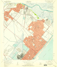
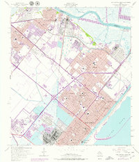
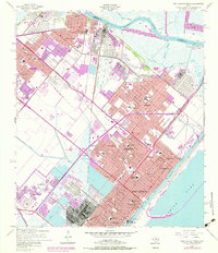
Editions of this 1957 Port Arthur North Map
4 editions found
Other maps of this area

1926 · Terry
USGS Topo · 1:24,000

1926 · Vidor
USGS Topo · 1:24,000

1932 · Beaumont
USGS Topo · 1:62,500

1932 · Port Arthur NE
USGS Topo · 1:31,680

1943 · West of Johnson Bayou
USGS Topo · 1:24,000

1943 · West of Greens Bayou
USGS Topo · 1:24,000

1943 · Orangefield
USGS Topo · 1:24,000

1943 · Port Arthur North
USGS Topo · 1:24,000

1943 · Terry
USGS Topo · 1:24,000

1943 · Port Arthur South
USGS Topo · 1:24,000