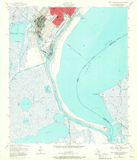
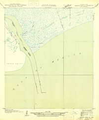
1957 Map of Port Arthur South
USGS Topo · Published 1966About this map
Industrial infrastructure and coastal waterways dominate the landscape of Port Arthur and West Port Arthur in the late 1950s. The northern quadrant is anchored by a massive Oil Refinery and specialized shipping facilities like the Turning Basin, West Basin, and East Basin. This period shows a community structured by industry and transit, with the Southern Pacific and Kansas City Southern railroads serving the waterfront. Educational life is represented by Lincoln High Sch, Carver Sch, and Lamar Sch.
Find a feature on this map
36 named features on this map. Tap any name to fly to it.
Don’t see what you’re looking for? This feature index may not catch every label — zoom into the map to look around manually.
Map Details
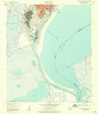
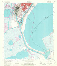
Editions of this 1957 Port Arthur South Map
3 editions found
Other maps of this area

1932 · Sabine Pass NE
USGS Topo · 1:31,680

1932 · Port Arthur NE
USGS Topo · 1:31,680

1943 · West of Johnson Bayou
USGS Topo · 1:24,000

1943 · West of Greens Bayou
USGS Topo · 1:24,000

1943 · Port Arthur North
USGS Topo · 1:24,000

1943 · Port Arthur South
USGS Topo · 1:24,000

1944 · Sabine Pass
USGS Topo · 1:31,680

1944 · Texas Point
USGS Topo · 1:31,680
1946 · Port Arthur NE
USGS Topo · 1:31,680
1946 · Sabine Pass NE
USGS Topo · 1:31,680