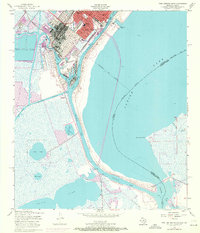
1957 Map of Port Arthur South
USGS Topo · Published 1971About this map
Industrial infrastructure and coastal geography converge at Port Arthur, where the massive Oil Refinery complex and the Sabine Neches Waterway define the local economy. This mid-century survey illustrates the intense concentration of petroleum processing facilities and the complex network of artificial channels, including the Port Arthur Canal, Turning Basin, and East Basin, required to support deep-water shipping. Beyond the heavy industry, the map records essential community landmarks such as Lincoln High Sch, Carver Sch, and the Port Arthur Pleasure Pier extending into Sabine Lake. To the south and west, the landscape transitions into a vast expanse of marshes and bayous, where features like Big Hill Reservoir, Keith Lake, and Mud Lake dominate the terrain. The presence of the Southern Pacific and Kansas City Southern railroads underscores the city's role as a vital transportation hub where rail meets tide.
Find a feature on this map
32 named features on this map. Tap any name to fly to it.
Don’t see what you’re looking for? This feature index may not catch every label — zoom into the map to look around manually.
Map Details
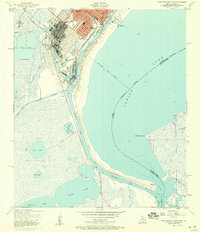
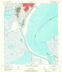
Editions of this 1957 Port Arthur South Map
3 editions found
Other maps of this area

1932 · Sabine Pass NE
USGS Topo · 1:31,680

1932 · Port Arthur NE
USGS Topo · 1:31,680

1943 · West of Johnson Bayou
USGS Topo · 1:24,000

1943 · West of Greens Bayou
USGS Topo · 1:24,000

1943 · Port Arthur North
USGS Topo · 1:24,000

1943 · Port Arthur South
USGS Topo · 1:24,000

1944 · Sabine Pass
USGS Topo · 1:31,680

1944 · Texas Point
USGS Topo · 1:31,680
1946 · Port Arthur NE
USGS Topo · 1:31,680
1946 · Sabine Pass NE
USGS Topo · 1:31,680