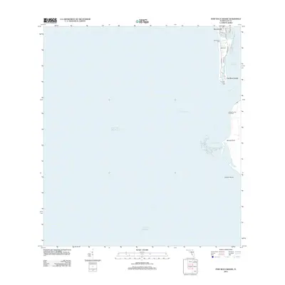
2012 Map of Port Boca Grande
USGS Topo · Published 2012About this map
Boca Grande and Port Boca Grande occupy the narrow southern tip of Gasparilla Island, serving as critical landmarks where Charlotte Harbor meets the Gulf of Mexico. This coastal survey documents the maritime infrastructure essential to the region, most notably the Boca Grande Light and the Port Boca Grande Light, which guide vessels through the deep waters of the Boca Grande Channel. The map illustrates the specialized local geography of the barrier island system, including the shifting sands of Johnson Shoals and the prominent landmark of Murdock Point. Further south, the LaCosta Test Pile South Light marks the approach to Cayo Costa. For researchers, the street-level detail of the village is preserved through thorough labeling of residential and commercial corridors such as Airport Blvd, Gulf Blvd, and Boca Bay Dr, reflecting the area's development as a premier coastal destination in the early 21st century.
Find a feature on this map
19 named features on this map. Tap any name to fly to it.
Don’t see what you’re looking for? This feature index may not catch every label — zoom into the map to look around manually.
Map Details
Editions of this 2012 Port Boca Grande Map
This is the sole edition of this map. No revisions or reprints were ever made.
Other maps of this area

1956 · Tampa
USGS Topo · 1:250,000

1956 · Charlotte Harbor
USGS Topo · 1:250,000

1957 · Punta Gorda SW
USGS Topo · 1:24,000

1957 · Placida
USGS Topo · 1:24,000

1958 · Captiva
USGS Topo · 1:24,000

1958 · Port Boca Grande
USGS Topo · 1:24,000

1958 · Bokeelia
USGS Topo · 1:24,000

1959 · Tampa
USGS Topo · 1:250,000

1960 · Tampa
USGS Topo · 1:250,000

1972 · Tampa
USGS Topo · 1:250,000