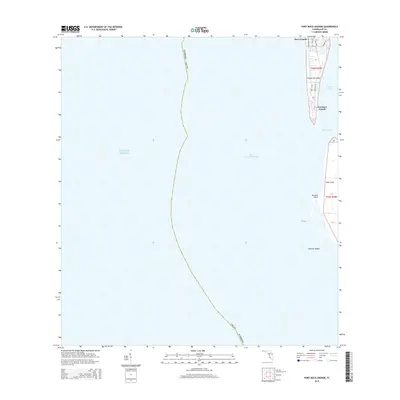
2015 Map of Port Boca Grande
USGS Topo · Published 2015About this map
Gasparilla Island and the waters of Charlotte Harbor define this coastal map of the southwestern Florida coast. The southern tip of the island is home to Boca Grande and the maritime hub of Port Boca Grande, where a tight grid of streets including Gilchrist Ave and Park Ave supports the local community. The landscape is dominated by the dynamic relationship between land and sea, with the Boca Grande Channel separating the main island from Cayo Costa to the south. Shoals and points like Johnson Shoals and Murdock Point illustrate the shifting sands of the Gulf of Mexico coastline. This survey captures the residential and nautical character of the area, showing how developments like Boca Bay Dr and Gulf Blvd interface with the surrounding coastal environment.
Find a feature on this map
20 named features on this map. Tap any name to fly to it.
Don’t see what you’re looking for? This feature index may not catch every label — zoom into the map to look around manually.
Map Details
Editions of this 2015 Port Boca Grande Map
This is the sole edition of this map. No revisions or reprints were ever made.
Other maps of this area

1956 · Tampa
USGS Topo · 1:250,000

1956 · Charlotte Harbor
USGS Topo · 1:250,000

1957 · Punta Gorda SW
USGS Topo · 1:24,000

1957 · Placida
USGS Topo · 1:24,000

1958 · Captiva
USGS Topo · 1:24,000

1958 · Port Boca Grande
USGS Topo · 1:24,000

1958 · Bokeelia
USGS Topo · 1:24,000

1959 · Tampa
USGS Topo · 1:250,000

1960 · Tampa
USGS Topo · 1:250,000

1972 · Tampa
USGS Topo · 1:250,000