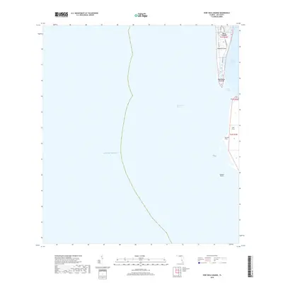
2018 Map of Port Boca Grande
USGS Topo · Published 2018About this map
Gasparilla Island anchors the northern edge of this coastal survey, where the settlement of Boca Grande and the southern point of Port Boca Grande overlook the critical deep-water pass. The landscape is defined by the narrow barrier islands separating the Gulf of Mexico from the expansive Charlotte Harbor. To the south across the Boca Grande Channel, the northern tip of Cayo Costa appears with its distinct shoreline features at Murdock Point and the submerged Johnson Shoals. Residential patterns on the island are established along corridors like Boca Bay Dr and Gulf Blvd, while the interior Boca Grande Bayou provides a protected waterway behind the primary gulf-side developments. This 2018 coastal study documents the modern topography and infrastructure of these barrier islands, which remain vital to Lee County's maritime geography.
Find a feature on this map
18 named features on this map. Tap any name to fly to it.
Don’t see what you’re looking for? This feature index may not catch every label — zoom into the map to look around manually.
Map Details
Editions of this 2018 Port Boca Grande Map
This is the sole edition of this map. No revisions or reprints were ever made.
Other maps of this area

1956 · Tampa
USGS Topo · 1:250,000

1956 · Charlotte Harbor
USGS Topo · 1:250,000

1957 · Punta Gorda SW
USGS Topo · 1:24,000

1957 · Placida
USGS Topo · 1:24,000

1958 · Captiva
USGS Topo · 1:24,000

1958 · Port Boca Grande
USGS Topo · 1:24,000

1958 · Bokeelia
USGS Topo · 1:24,000

1959 · Tampa
USGS Topo · 1:250,000

1960 · Tampa
USGS Topo · 1:250,000

1972 · Tampa
USGS Topo · 1:250,000