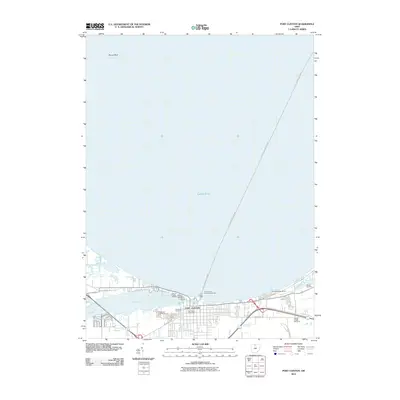
2010 Map of Port Clinton
USGS Topo · Published 2010About this map
Port Clinton serves as the focal point of this coastal survey, where the Portage River meets the expansive waters of Lake Erie. The settlement's maritime orientation is evident through its infrastructure, including the Port Clinton Light and the Port Clinton East Pierhead Light, which guide traffic through the harbor. Local transit and recreation are defined by multiple marinas such as Clinton Reef Marina and Brands Marina, while the Port Clinton-Put-In-Bay ferry route provides a vital connection to the Lake Erie islands. For those tracing local genealogy or land use, the map identifies several burial grounds including Riverview Cemetery and Lakeview Cemetery near the town center, and Shook Cemetery to the east. The surrounding landscape is shaped by the river's path and local thoroughfares like Fremont Rd and E State Rd, illustrating the town's development along the Lake Erie shoreline.
Find a feature on this map
22 named features on this map. Tap any name to fly to it.
Don’t see what you’re looking for? This feature index may not catch every label — zoom into the map to look around manually.
Map Details
Editions of this 2010 Port Clinton Map
This is the sole edition of this map. No revisions or reprints were ever made.
Other maps of this area

1900 · Oak Harbor
USGS Topo · 1:62,500

1901 · Put-In-Bay
USGS Topo · 1:62,500

1901 · Bellevue
USGS Topo · 1:62,500

1901 · Fremont
USGS Topo · 1:62,500

1903 · Bellevue
USGS Topo · 1:62,500

1903 · Fremont
USGS Topo · 1:62,500

1903 · Put In Bay
USGS Topo · 1:62,500

1952 · Lacarne
USGS Topo · 1:24,000

1952 · Oak Harbor
USGS Topo · 1:62,500

1956 · Toledo
USGS Topo · 1:250,000
Featured Places
- Port Clinton, OH
- Put-in-Bay Township, OH
- Catawba Island Township, OH
- Erie Township, OH
- Portage Township, OH