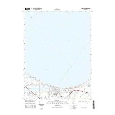
2016 Map of Port Clinton
USGS Topo · Published 2016About this map
Port Clinton serves as the focal point of this coastal survey, where the Portage River flows into the expansive waters of Lake Erie. The settlement pattern follows the shoreline and riverbanks, with a dense grid of streets including Adams St and Fulton St characterizing the town center. Outside the municipal core, the landscape transitions into a mix of coastal wetlands like Darby Marsh and aviation infrastructure at the Erie-Ottawa International Airport.
Find a feature on this map
61 named features on this map. Tap any name to fly to it.
Don’t see what you’re looking for? This feature index may not catch every label — zoom into the map to look around manually.
Map Details
Editions of this 2016 Port Clinton Map
This is the sole edition of this map. No revisions or reprints were ever made.
Other maps of this area

1900 · Oak Harbor
USGS Topo · 1:62,500

1901 · Put-In-Bay
USGS Topo · 1:62,500

1901 · Bellevue
USGS Topo · 1:62,500

1901 · Fremont
USGS Topo · 1:62,500

1903 · Bellevue
USGS Topo · 1:62,500

1903 · Fremont
USGS Topo · 1:62,500

1903 · Put In Bay
USGS Topo · 1:62,500

1952 · Lacarne
USGS Topo · 1:24,000

1952 · Oak Harbor
USGS Topo · 1:62,500

1956 · Toledo
USGS Topo · 1:250,000
Featured Places
- Port Clinton, OH
- Put-in-Bay Township, OH
- Catawba Island Township, OH
- Erie Township, OH
- Portage Township, OH