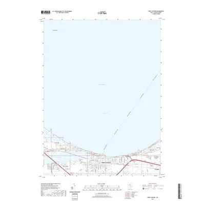
2019 Map of Port Clinton
USGS Topo · Published 2019About this map
Lake Erie and the Portage River define the landscape of this Lake Erie shoreline community, where waterborne transit remains central to local life. The Port Clinton Ferry routes stretch across the water toward the northern islands, emphasizing the town's role as a maritime hub. Within Port Clinton, the street grid extends toward the Ottawa County Municipal Court, while the eastern portion of the sheet transitions into the industrial and residential pocket of Gypsum. Genealogists will find several notable burial sites including Riverview Cem and Lakeview Cem near the riverbanks, as well as the more secluded Christy Chapel Cem and Shook Cem further inland. The map also documents the Erie-Ottawa International Airport and conservation areas like Darby Marsh, illustrating the varied land use between the lakefront and the regional interior.
Find a feature on this map
55 named features on this map. Tap any name to fly to it.
Don’t see what you’re looking for? This feature index may not catch every label — zoom into the map to look around manually.
Map Details
Editions of this 2019 Port Clinton Map
This is the sole edition of this map. No revisions or reprints were ever made.
Other maps of this area

1900 · Oak Harbor
USGS Topo · 1:62,500

1901 · Put-In-Bay
USGS Topo · 1:62,500

1901 · Bellevue
USGS Topo · 1:62,500

1901 · Fremont
USGS Topo · 1:62,500

1903 · Bellevue
USGS Topo · 1:62,500

1903 · Fremont
USGS Topo · 1:62,500

1903 · Put In Bay
USGS Topo · 1:62,500

1952 · Lacarne
USGS Topo · 1:24,000

1952 · Oak Harbor
USGS Topo · 1:62,500

1956 · Toledo
USGS Topo · 1:250,000
Featured Places
- Port Clinton, OH
- Put-in-Bay Township, OH
- Catawba Island Township, OH
- Erie Township, OH
- Portage Township, OH