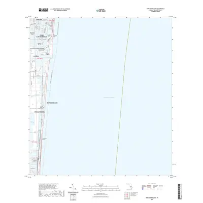
2021 Map of Port Everglades
USGS Topo · Published 2021About this map
Fort Lauderdale and its intricately developed waterfront dominate this 2021 survey of the Broward County coastline. The map details the complex geography of island neighborhoods like Nurmi Isles, Rio Vista Isles, and Harbor Beach, all defined by the engineered waterways that feed into New River Sound. This coastal corridor showcases the dense integration of residential finger islands with major maritime infrastructure, most notably at the deep-water hub of Port Everglades.
Find a feature on this map
61 named features on this map. Tap any name to fly to it.
Don’t see what you’re looking for? This feature index may not catch every label — zoom into the map to look around manually.
Map Details
Editions of this 2021 Port Everglades Map
This is the sole edition of this map. No revisions or reprints were ever made.
Other maps of this area

1945 · Fort Lauderdale North
USGS Topo · 1:24,000

1947 · North Miami
USGS Topo · 1:24,000

1949 · Fort Lauderdale North
USGS Topo · 1:24,000

1949 · Port Everglades
USGS Topo · 1:24,000

1949 · Fort Lauderdale South
USGS Topo · 1:24,000

1949 · Pompano Beach
USGS Topo · 1:24,000

1950 · North Miami
USGS Topo · 1:24,000

1956 · Miami
USGS Topo · 1:250,000

1956 · West Palm Beach
USGS Topo · 1:250,000

1957 · West Palm Beach
USGS Topo · 1:250,000
Featured Places
- Fort Lauderdale, FL
- Harbor Heights, Fort Lauderdale
- Nurmi Isles, Fort Lauderdale
- Harbor Beach, Fort Lauderdale
- Rio Vista Isles, Fort Lauderdale