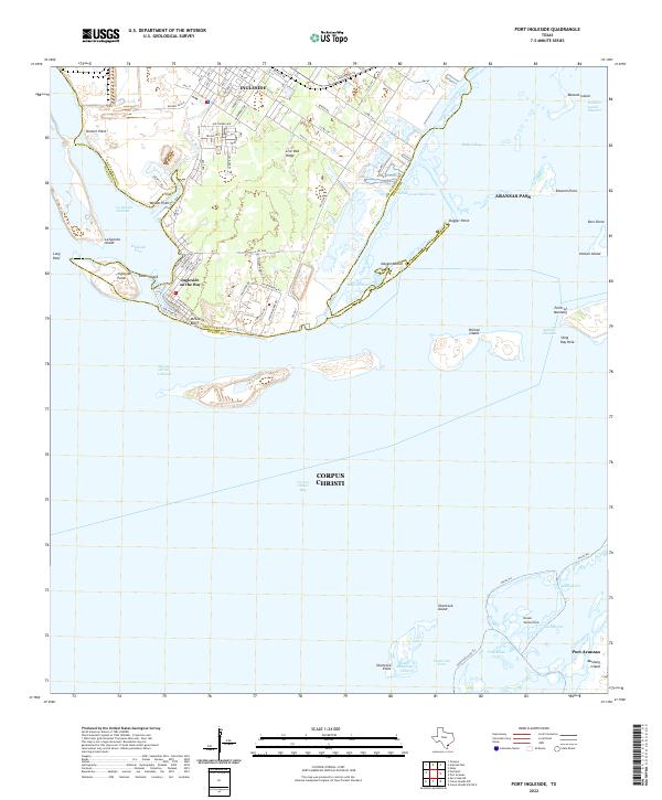
2022 Map of Port Ingleside
USGS Topo · Published 2022About this map
Ingleside and the adjacent Ingleside on the Bay sit at the center of this coastal landscape, where the waters of Corpus Christi Bay meet the sprawling bay system of the Texas Gulf Coast. The terrain is defined by the prominent Live Oak Ridge and a series of protected inlets and islands, including Ransom Island and Dagger Island, which separate the mainland from the Aransas Pass and Redfish Bay areas. The map details the intricate maritime infrastructure of the region, from the deep-water Corpus Christi Channel and La Quinta Channel to the winding Intracoastal Waterway.
Find a feature on this map
86 named features on this map. Tap any name to fly to it.
Don’t see what you’re looking for? This feature index may not catch every label — zoom into the map to look around manually.
Map Details
Editions of this 2022 Port Ingleside Map
This is the sole edition of this map. No revisions or reprints were ever made.
Other maps of this area
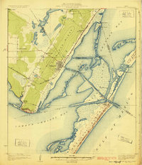
1925 · Aransas Pass
USGS Topo · 1:62,500
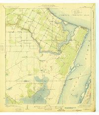
1925 · Oso Creek
USGS Topo · 1:62,500
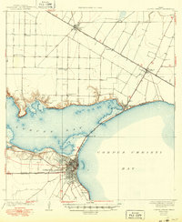
1925 · Corpus Christi
USGS Topo · 1:62,500
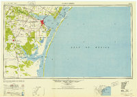
1950 · Corpus Christi
USGS Topo · 1:250,000
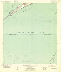
1951 · Portland
USGS Topo · 1:24,000
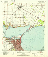
1951 · Corpus Christi
USGS Topo · 1:62,500
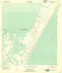
1951 · Crane Islands NW
USGS Topo · 1:24,000
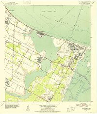
1951 · Oso Creek NE
USGS Topo · 1:24,000
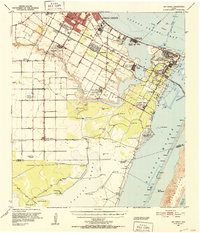
1951 · Oso Creek
USGS Topo · 1:62,500
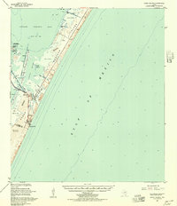
1951 · Crane Islands
USGS Topo · 1:62,500