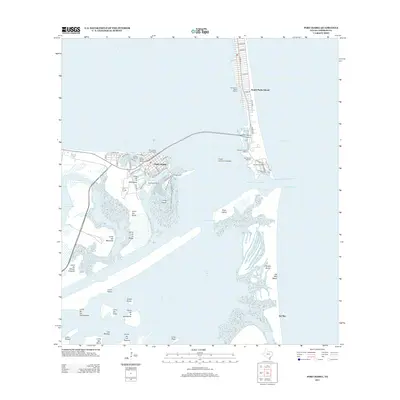
2013 Map of Port Isabel
USGS Topo · Published 2013About this map
Port Isabel stands as a maritime gateway where the Laguna Madre meets the Gulf of Mexico, anchored by the historic Point Isabel Lighthouse. This coastal landscape is defined by its navigation infrastructure, from the Port Isabel Turning Basin and its industrial corridors like Port Road to the modern span of the Queen Isabella Causeway connecting the mainland to South Padre Island. The mapping detail emphasizes the transition between land and water, documenting the intricate channels such as the Isabel-Side Channel and the various marinas that serve the local economy, including White Sands Marina and Anchor Marina.
Find a feature on this map
68 named features on this map. Tap any name to fly to it.
Don’t see what you’re looking for? This feature index may not catch every label — zoom into the map to look around manually.
Map Details
Editions of this 2013 Port Isabel Map
This is the sole edition of this map. No revisions or reprints were ever made.
Other maps of this area

1929 · La Coma
USGS Topo · 1:24,000

1929 · Palmito Hill
USGS Topo · 1:24,000

1929 · Point Isabel
USGS Topo · 1:24,000

1929 · Laguna Vista
USGS Topo · 1:24,000

1930 · Padre Island No. 1
USGS Topo · 1:24,000

1934 · Port Isabel
USGS Topo · 1:31,680

1934 · La Coma
USGS Topo · 1:31,680

1935 · Padre Island No 1
USGS Topo · 1:31,680

1936 · Palmito Hill
USGS Topo · 1:31,680

1936 · Laguna Vista
USGS Topo · 1:31,680