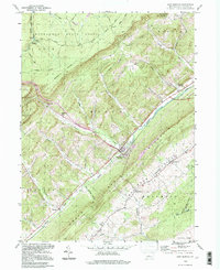
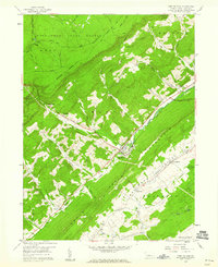
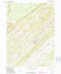
1959 Map of Port Matilda
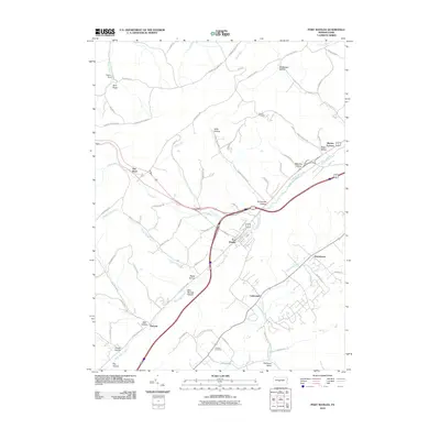
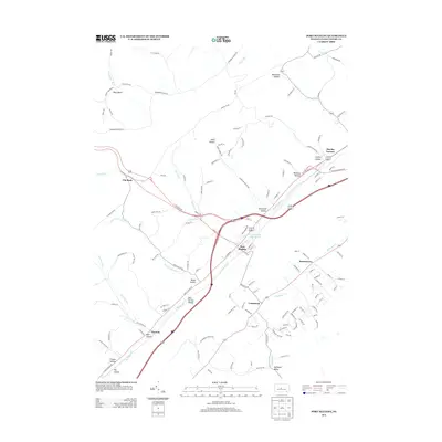
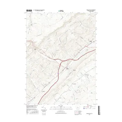
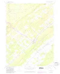
USGS Topo · Published 1972About this map
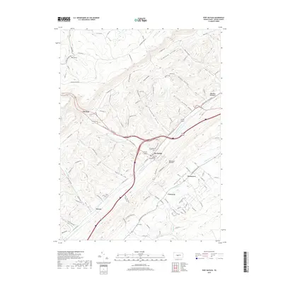
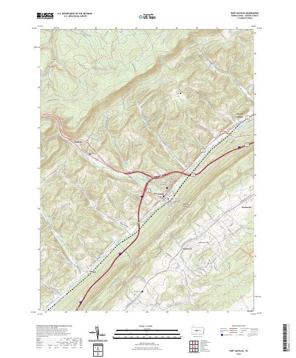
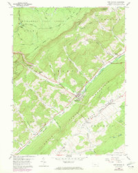
Bald Eagle Creek and the Penn Central rail line anchor the narrow Bald Eagle Valley, a critical transportation corridor in Centre County during the mid-twentieth century. The landscape is defined by the sharp contrast between the valley floor's small settlements and the dense woodland of the Moshannon State Forest and State Game Lands No 33. Cultural landmarks such as Martha Furnace and the Blackoak Ch point to the area's industrial and social history, while numerous family and community burial grounds like Brown Cem and Friends Cem provide specific data points for genealogical research. To the southeast, the terrain shifts into the unique landscape of The Barrens, contrasting with the numerous deep hollows like Steel Hollow and McDonald Hollow that carve into the flanking ridges. This survey, photorevised in the early 1970s, captures the alignment of the 28th Division Highway as it follows the path of the earlier valley routes.
Find a feature on this map
46 named features on this map. Tap any name to fly to it.
Don’t see what you’re looking for? This feature index may not catch every label — zoom into the map to look around manually.
Map Details
Editions of this 1959 Port Matilda Map
4 editions found
Historical Maps of Port Matilda Through Time
7 maps found