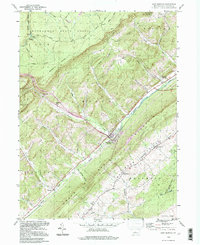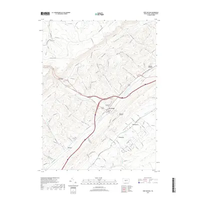
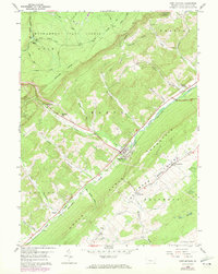
1959 Map of Port Matilda
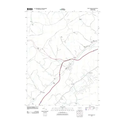
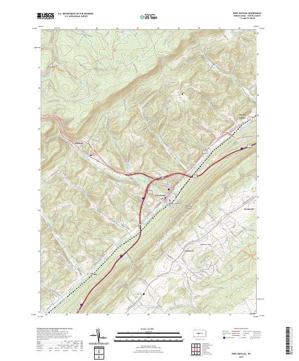
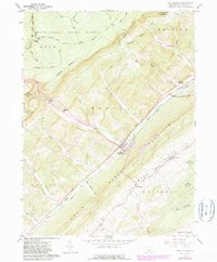
USGS Topo · Published 1982About this map
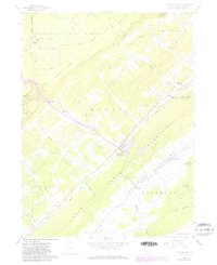
Port Matilda sits at the base of Bald Eagle Mountain, serving as a central hub where Bald Eagle Creek and Eagle Creek converge. The landscape is defined by the prominent ridge of the mountain and the productive lands of Halfmoon Valley to the southeast. Industrial and agricultural history is visible throughout the area, from the old iron works at Martha Furnace to the scattered settlements of Stormstown, Hannah, and Centennial. The presence of the Conrail line following the creek bed underscores the importance of this corridor for regional transport.
Find a feature on this map
56 named features on this map. Tap any name to fly to it.
Don’t see what you’re looking for? This feature index may not catch every label — zoom into the map to look around manually.
Map Details
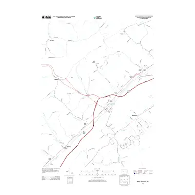
Editions of this 1959 Port Matilda Map
4 editions found
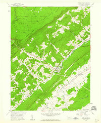
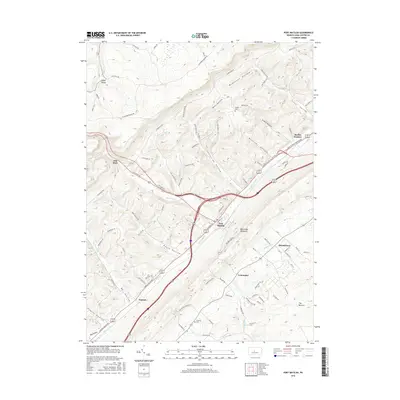
Historical Maps of Port Matilda Through Time
7 maps found