
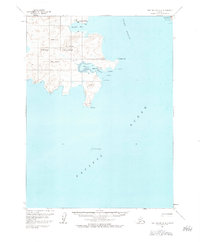
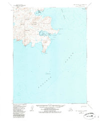
1963 Map of Port Moller A-2
USGS Topo · Published 1967About this map
Unga Island serves as the focal point of this coastal Alaska survey, illustrating the maritime and industrial footprint of the Shumagin Islands in the mid-1960s. The settlement of Unga sits prominently on Delarof Harbor, a sheltered inlet on the eastern shore of the island. Evidence of the region’s mineral history is found just inland at the Apollo Mine, situated near the base of Apollo Mountain. This gold-mining site was once one of the most significant in the territory, and its inclusion here provides a clear spatial relationship between the resource extraction points and the coastal shipping hubs that supported them.
Find a feature on this map
22 named features on this map. Tap any name to fly to it.
Don’t see what you’re looking for? This feature index may not catch every label — zoom into the map to look around manually.
Map Details
Editions of this 1963 Port Moller A-2 Map
3 editions found
Other maps of this area

1953 · Port Moller
USGS Topo · 1:250,000

1963 · Port Moller A-1
USGS Topo · 1:63,360

1963 · Port Moller B-2
USGS Topo · 1:63,360

1963 · Port Moller B-1
USGS Topo · 1:63,360
1963 · Simeonof Island D-4
USGS Topo · 1:63,360
1963 · Port Moller A-3
USGS Topo · 1:63,360

1963 · Simeonof Island
USGS Topo · 1:250,000

1967 · Simeonof Island
USGS Topo · 1:250,000

1983 · Port Moller B-3
USGS Topo · 1:63,360

1988 · Port Moller
USGS Topo · 1:250,000