
1963 Map of Port Moller A-5
USGS Topo · Published 1966About this map
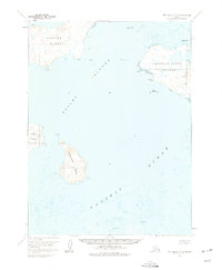
Ukolnoi Island and Wosnesensk Island anchor this hydrographic study of the Pavlof Islands in the early 1960s. Compiled from aerial photography and maritime charts, the survey documents a maritime landscape where the Pacific Ocean meets the dramatic topography of the Aleutians East region. The map highlights critical navigational landmarks for mariners, such as Midway Rock and the prominent Pinnacle off the coast of Wosnesensk. Smaller landmasses like Poperechnoi Island and Dolgoi Island are shown with detailed contour intervals, revealing their steep elevations above the surrounding sea. This charting reflects the mid-century effort to map Alaska's remote maritime reaches, providing data on depth curves and soundings that defined the coastal safety of the era.
Find a feature on this map
13 named features on this map. Tap any name to fly to it.
Don’t see what you’re looking for? This feature index may not catch every label — zoom into the map to look around manually.
Map Details
Editions of this 1963 Port Moller A-5 Map
2 editions found
Other maps of this area

1949 · False Pass
USGS Topo · 1:250,000

1950 · False Pass
USGS Topo · 1:250,000

1953 · Port Moller
USGS Topo · 1:250,000
1963 · Port Moller A-4
USGS Topo · 1:63,360

1963 · Port Moller A-6
USGS Topo · 1:63,360
1963 · False Pass D-0
USGS Topo · 1:63,360

1963 · Simeonof Island
USGS Topo · 1:250,000

1967 · Simeonof Island
USGS Topo · 1:250,000

1983 · Port Moller B-6
USGS Topo · 1:63,360
1983 · Port Moller B-4
USGS Topo · 1:63,360