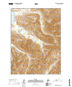
2020 Map of Port Moller C-2 NW
USGS Topo · Published 2020About this map
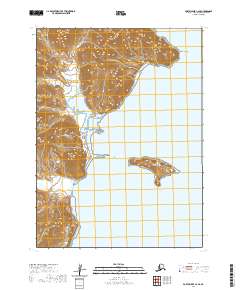
Herendeen Bay and the waters of Bristol Bay meet the western edge of the Alaska Peninsula in this 2020 topographic study. The landscape is defined by three prominent depressions—Lawrence Valley, Grass Valley, and Portage Valley—which channel drainage toward the coast. These valleys serve as natural corridors through the high terrain, with Lawrence Cr and Portage Cr forming the primary hydrologic network. The absence of permanent settlements or roads emphasizes the isolation of this region, where the primary features are the named creek systems like Johnson Cr and Coleman Cr. This map provides a detailed view of the natural topography of the Aleutians East Borough, tracing the drainages and ridges that characterize the peninsula's interior before it reaches the sea.
Find a feature on this map
16 named features on this map. Tap any name to fly to it.
Don’t see what you’re looking for? This feature index may not catch every label — zoom into the map to look around manually.
Map Details
Editions of this 2020 Port Moller C-2 NW Map
This is the sole edition of this map. No revisions or reprints were ever made.
Other maps of this area

1953 · Port Moller
USGS Topo · 1:250,000

1963 · Port Moller D-3
USGS Topo · 1:63,360

1963 · Port Moller C-2
USGS Topo · 1:63,360

1963 · Port Moller D-2
USGS Topo · 1:63,360

1983 · Port Moller C-3
USGS Topo · 1:63,360

1988 · Port Moller
USGS Topo · 1:250,000
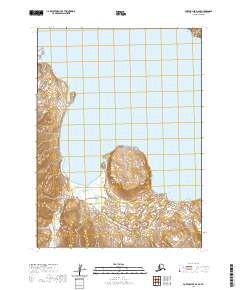
2020 · Port Moller D-2 SE
USGS Topo · 1:25,000
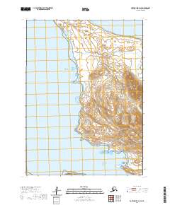
2020 · Port Moller D-3 SE
USGS Topo · 1:25,000
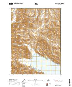
2020 · Port Moller C-2 NE
USGS Topo · 1:25,000
2020 · Port Moller C-2 SE
USGS Topo · 1:25,000