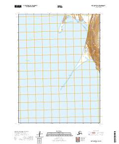
2020 Map of Port Moller D-2 NW
USGS Topo · Published 2020About this map
Port Moller serves as the central geographic focal point of this coastal survey, where the protected waters of the inlet meet the open Bering Sea. The landscape is dominated by elongated coastal landforms, specifically Moller Spit and Entrance Point, which define the narrow passage into the harbor. These features suggest a dynamic maritime environment shaped by the shifting currents of the Hague Channel and the larger reaches of Bristol Bay.
Find a feature on this map
13 named features on this map. Tap any name to fly to it.
Don’t see what you’re looking for? This feature index may not catch every label — zoom into the map to look around manually.
Map Details
Editions of this 2020 Port Moller D-2 NW Map
This is the sole edition of this map. No revisions or reprints were ever made.
Other maps of this area

1953 · Port Moller
USGS Topo · 1:250,000

1963 · Port Moller D-3
USGS Topo · 1:63,360

1963 · Port Moller D-2
USGS Topo · 1:63,360

1963 · Chignik
USGS Topo · 1:250,000
1963 · Chignik A-8
USGS Topo · 1:63,360

1988 · Port Moller
USGS Topo · 1:250,000
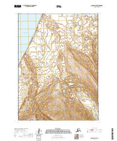
2020 · Chignik A-8 SE
USGS Topo · 1:25,000
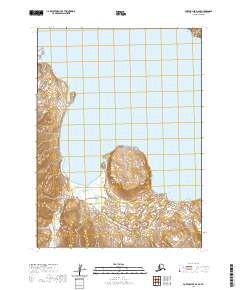
2020 · Port Moller D-2 SE
USGS Topo · 1:25,000
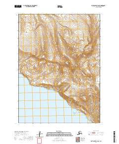
2020 · Port Moller D-2 NE
USGS Topo · 1:25,000
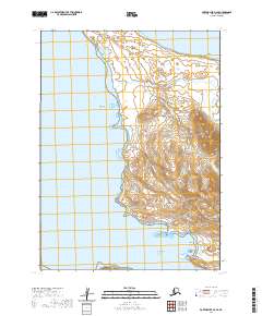
2020 · Port Moller D-3 SE
USGS Topo · 1:25,000