
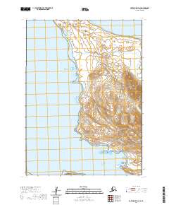
1963 Map of Port Moller D-3
USGS Topo · Published 1967About this map
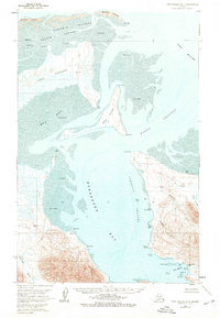
Cape Rozhnof and the surrounding coastal waters of the Alaska Peninsula are depicted in this 1963 survey, revealing a landscape defined by expansive tidal flats and intricate maritime passages. The northern reach is anchored by Nelson Lagoon and the Kudobin Islands, while the deep waters of Herendeen Bay and Port Moller dominate the east and south. This topographic study captures a period before significant modern development, showing the natural isolation of Deer Island and the shifting sands of Village Spit.
Find a feature on this map
44 named features on this map. Tap any name to fly to it.
Don’t see what you’re looking for? This feature index may not catch every label — zoom into the map to look around manually.
Map Details
Editions of this 1963 Port Moller D-3 Map
2 editions found
Other maps of this area

1953 · Port Moller
USGS Topo · 1:250,000

1963 · Port Moller C-2
USGS Topo · 1:63,360
1963 · Port Moller D-4
USGS Topo · 1:63,360

1963 · Port Moller D-2
USGS Topo · 1:63,360
1963 · Chignik A-8
USGS Topo · 1:63,360

1983 · Port Moller C-4
USGS Topo · 1:63,360

1983 · Port Moller C-3
USGS Topo · 1:63,360

1988 · Port Moller
USGS Topo · 1:250,000
2020 · Port Moller D-3 NW
USGS Topo · 1:25,000
2020 · Port Moller D-3 SE
USGS Topo · 1:25,000