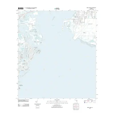
2012 Map of Port Tampa
USGS Topo · Published 2012About this map
Old Tampa Bay dominates this coastal landscape, serving as the central divide between the developed residential fingers of St. Petersburg and the industrial and military infrastructure of the Interbay Peninsula. On the eastern shore, the strategic presence of Mac Dill Air Force Base occupies the southern tip of the peninsula, while the historic maritime community of Port Tampa sits just north along the Port Tampa Channel. Across the water to the west, the intricate shoreline reveals a complex network of canals and dredged developments including Venetian Isles and Snell Isle, contrasting with the more natural mangroves of Weedon Island and Weedon Hammock. The southern edge of the map includes the aviation facilities at Albert Whitted Airport, marking the edge of the downtown waterfront area where Coffeepot Bayou and Snell Island Harbor meet the open bay.
Find a feature on this map
84 named features on this map. Tap any name to fly to it.
Don’t see what you’re looking for? This feature index may not catch every label — zoom into the map to look around manually.
Map Details
Editions of this 2012 Port Tampa Map
This is the sole edition of this map. No revisions or reprints were ever made.
Other maps of this area

1921 · Tampa
USGS Topo · 1:62,500

1921 · Fort De Soto
USGS Topo · 1:62,500

1921 · St Petersburg
USGS Topo · 1:62,500

1942 · Cockroach Bay
USGS Topo · 1:31,680

1943 · St Petersburg
USGS Topo · 1:31,680

1943 · Gandy Bridge
USGS Topo · 1:31,680

1943 · Pass-A-Grille
USGS Topo · 1:31,680

1943 · Safety Harbor
USGS Topo · 1:31,680

1943 · Port Tampa
USGS Topo · 1:31,680

1944 · Ruskin
USGS Topo · 1:31,680